Wednesday, 23rd April 2014
| Walk: | Backstone Barrow, Sour Howes, Sallows, Garburn Pass, Yoke, Ill Bell, Froswick, Park Fell, Ing Lane | ||
| Start Point: | Church Bridge, Troutbeck | Grid Reference: | NY 412 027 |
| Distance: | 10.5 miles | Ascent: | 3,200 feet |
| Time: | 5.75 hours | ||
| Weather: | Windy and overcast with a little rain at the end | ||
| Comments: | With an uncertain forecast I decided on the Far Eastern Fells, navigating the two small Wainwrights of Sour Howes and Sallows before tackling the 'undulating' ridge of Yoke, Ill Bell and Froswick. Unfortunately the light for photographs was poor even though a variety of summits could be seen en route. An enjoyable walk despite the weather. | ||
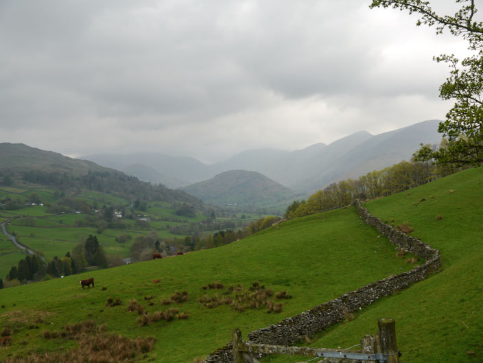
Low cloud as I make my up to the Garburn Road . . .

eventually reaching Sour Howes . . .

with its small cairn . . .
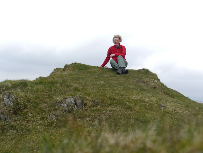
and a very windy spot

Sallows is even less distinctive . . .
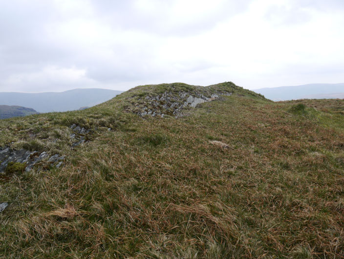
whichever way you view it from

At least Yoke has a proper cairn . . .
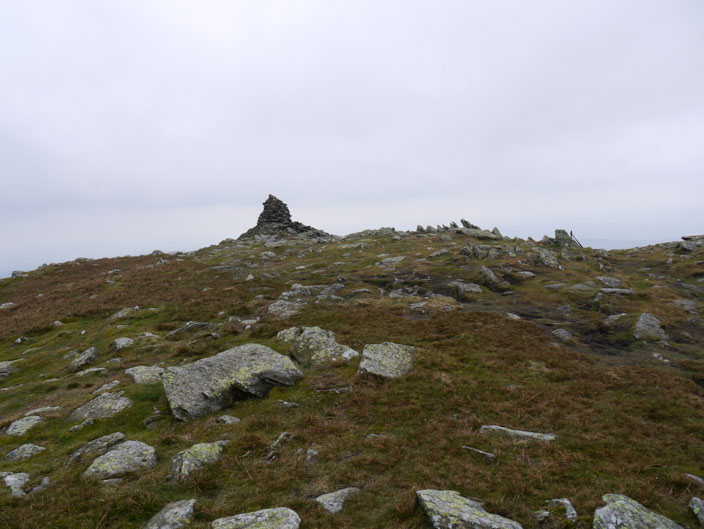
as does Ill Bell . . .
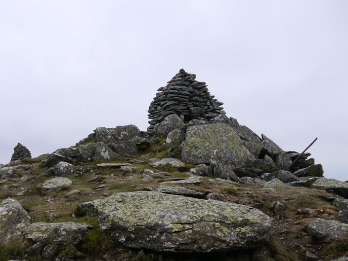
which actually has three (but only 2 in this shot)

After descending from Ill Bell . . .
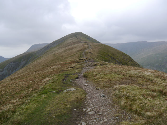
another climb heads to Froswick

Looking back to Ill Bell its craggy face can be seen . . .
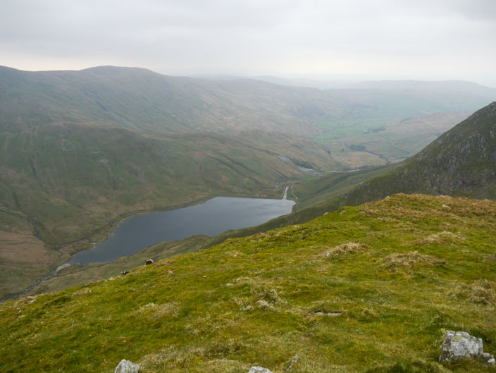
overlooking Kentmere Reservoir
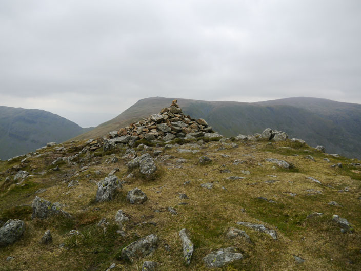
The summit of Froswick with Thornthwaite Beacon to its left