Tuesday, 17th June 2014
| Walk: | Thornythwaite Fell, Glaramara, Allen Crags, Rossett Pike, Stake Pass, Langstrath Valley | ||
| Start Point: | Seatoller car park | Grid Reference: | NY 245 137 |
| Distance: | 13.5 miles | Ascent: | 3,600 feet |
| Time: | 8.75 hrs | ||
| Weather: | Mainly sunny and humid in the aternoon | ||
| Comments: | Previously I have approached Glaramara via Bessyboot but today took the more direct path over Thornythwaite Fell. The '20ft rock step' onto Glaramara is quite daunting on the approach but is a reasonable scramble - though it is possible to walk to the right of the summit and approach it from the back if the rock step is 'a step too far'. After testing out the zoom lens on the surrouding high fells I continued on to Allen Crags - more 'undulating' than I remembered from previous walks! Descending to Angle Tarn I stopped to chat to a 'path repair crew'. Evidently it takes them 1.5 hours to walk to this area , then 1.5 hours back. The rocks are now mainly moved by helicopter but in the past they used to be rolled down the surrounding hillside!! I then ascended to Rossett Pike with its magnificent views into the Great Langdale Valley. Taking a little used path I made my way to Stake Pass and down the many zig zags into the Langstrath Valley. The narrow track led into the Stonethwaite Valley and back to the car. | ||
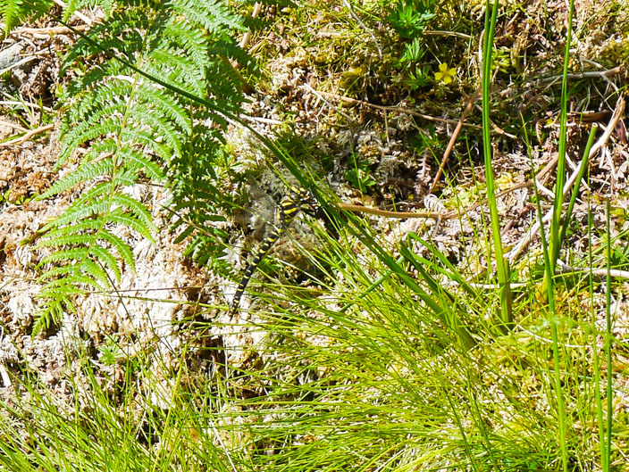
The Golden-ringed Dragonfly
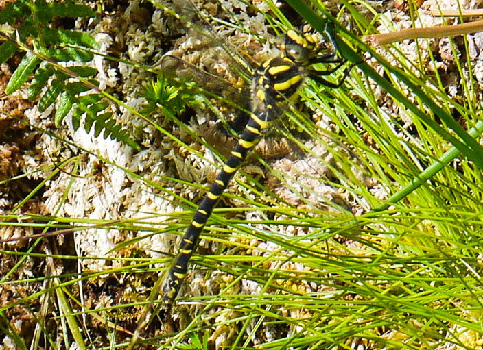
one of the largest in Britain
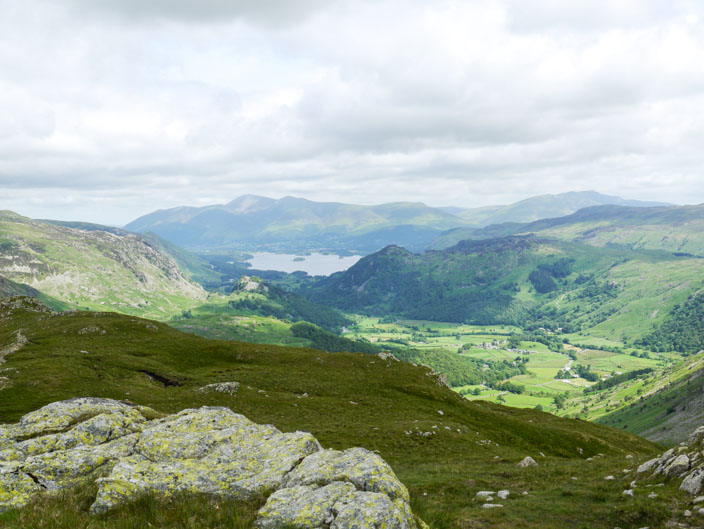
Derwent Water from the ascent
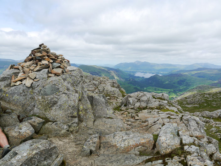
and again from Glaramara
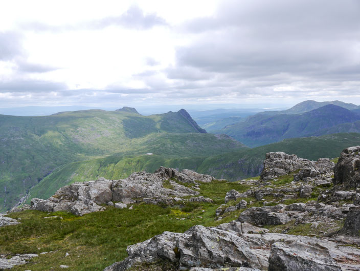
Taking in the views from Glaramara: The Langdale Pikes . . .
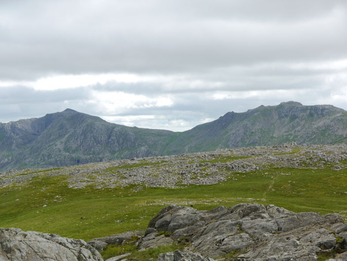
Bow Fell and Esk Pike . . .
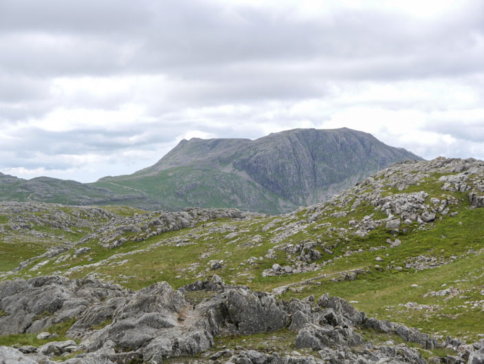
Great End . . .
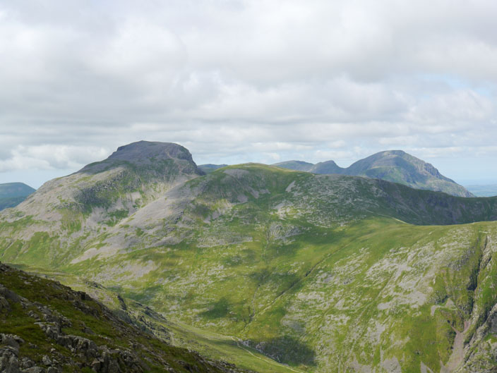
and Great Gable on the left and the Buttermere Fells to the right
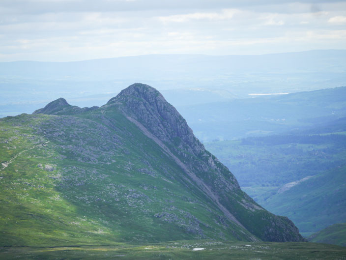
Then trying out the zoom lens: Pike O'Stickle . . .
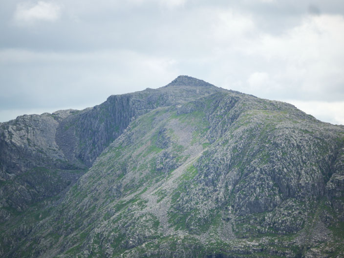
Bow Fell with The Great Slab on the left . . .
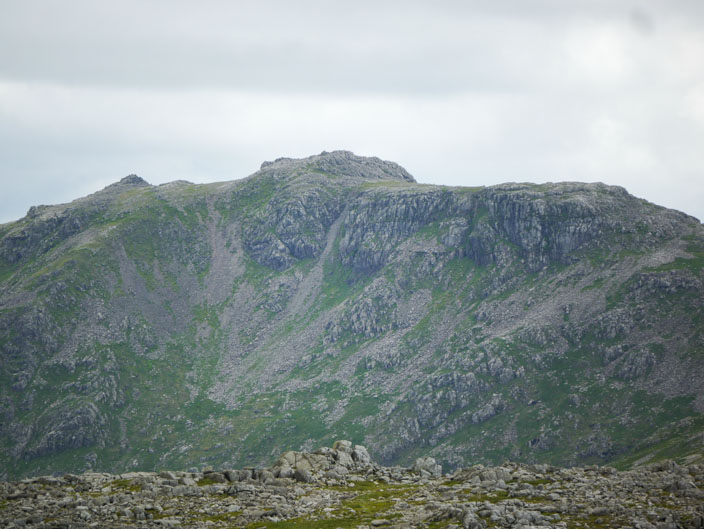
Esk Pike . . .
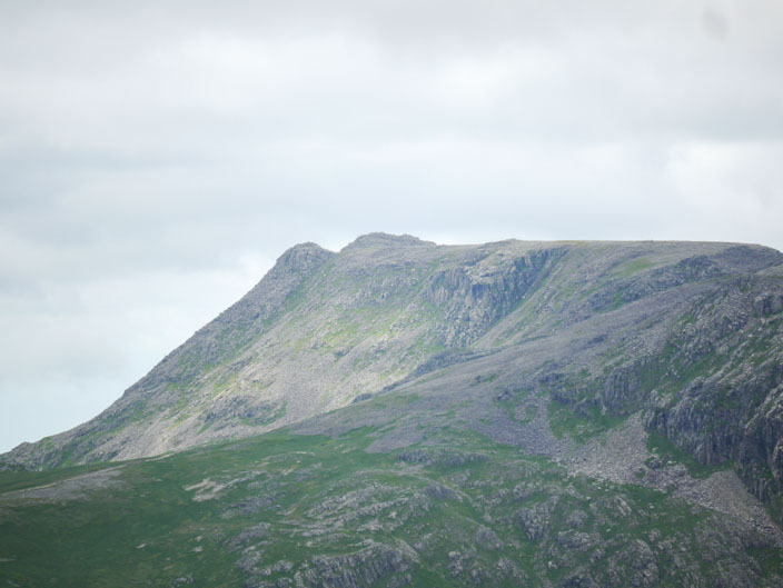
Ill Crag . . .
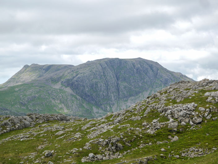
Great End . . .
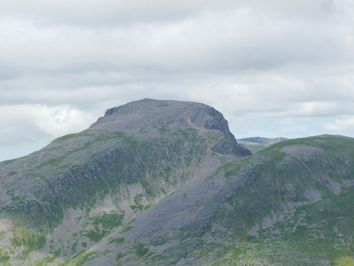
Great Gable and Green Gable . . .
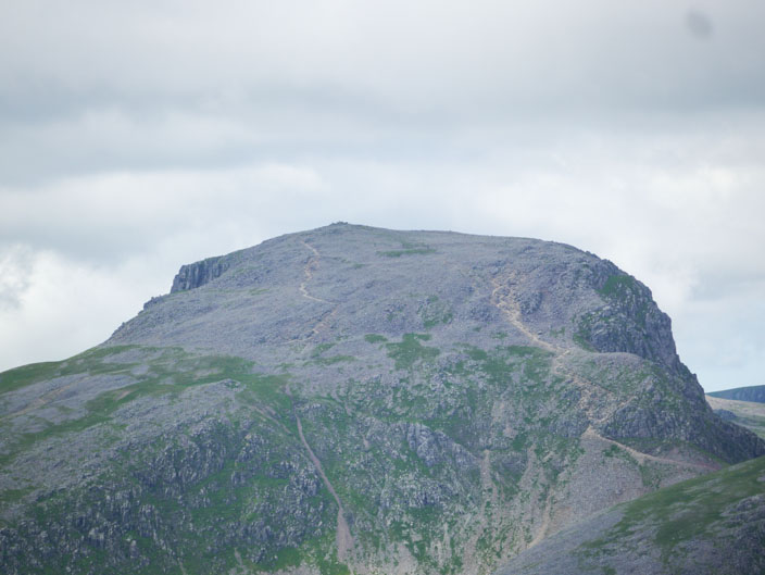
and checking out Great Gable's paths!
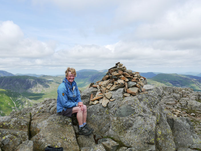
Then one 'for the album'
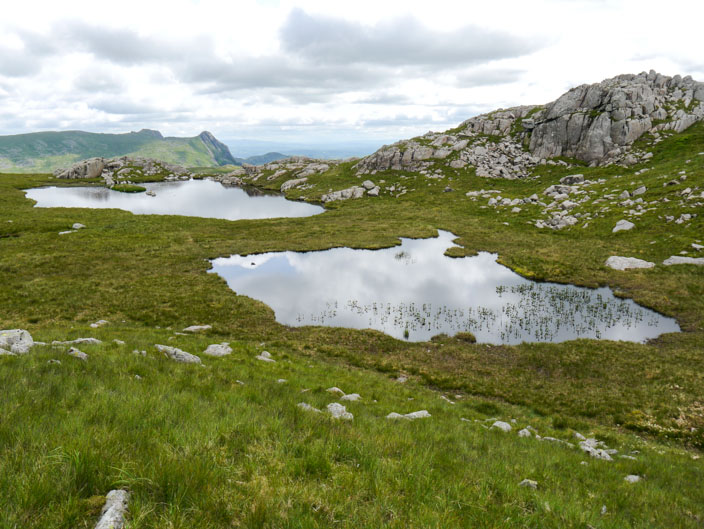
High House Tarn on the way to . . .
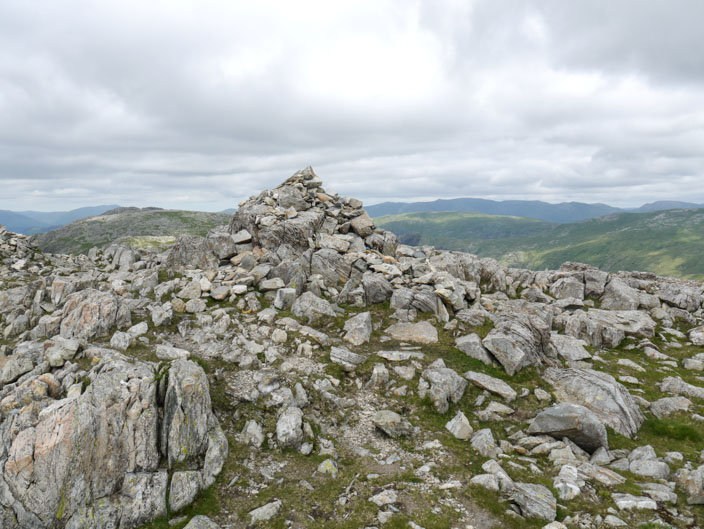
Allen Crags . . .
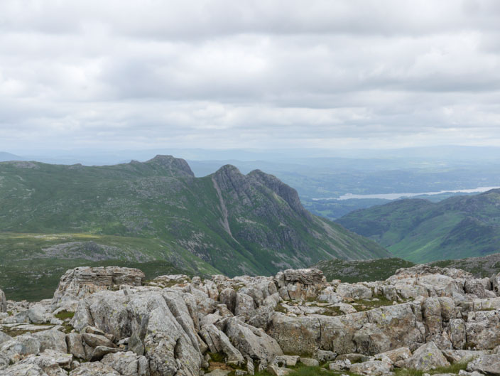
with more views of The Langale Pikes
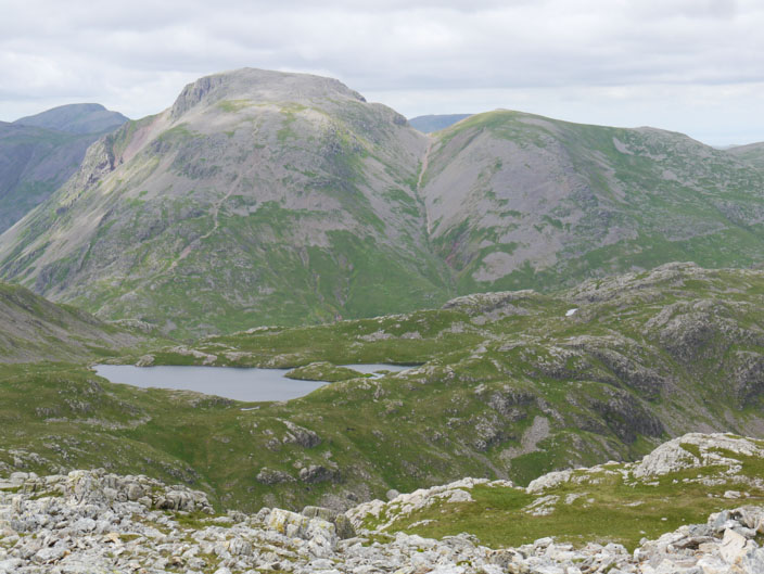
Sprinkling Tarn with Great Gable and Green Gable behind
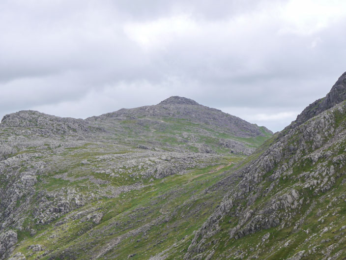
Zooming in on the summit cairn of Bowfell
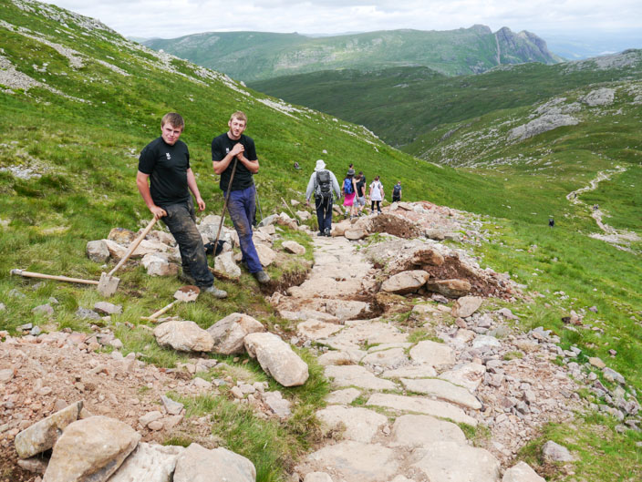
Some of the 'path repair team' take a break
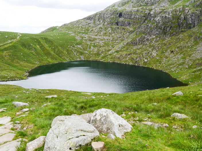
Angle Tarn . . .
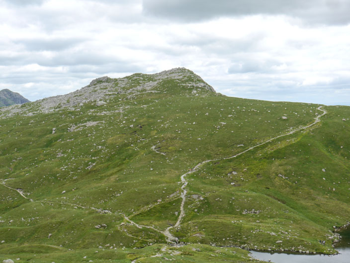
from where a distinctive path leads up to . . .
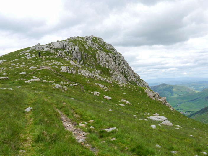
Rossett Pike

Looking back over the highest cairn . . .
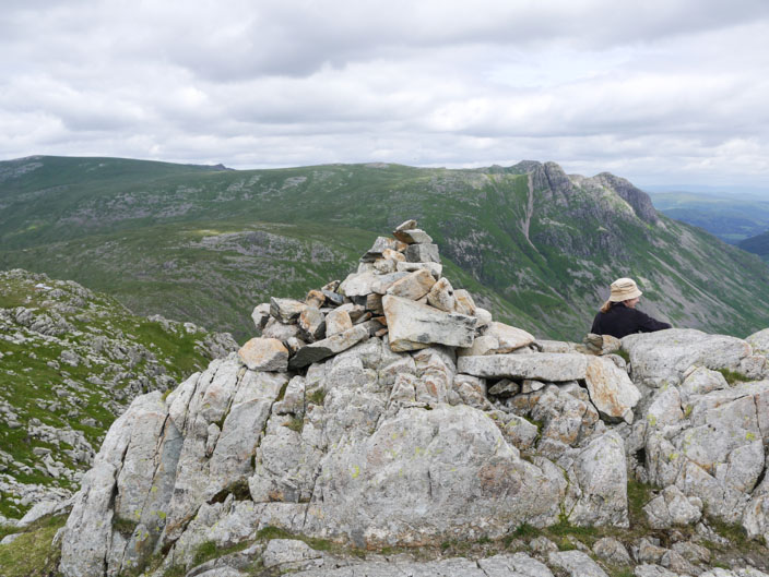
and over the Mickleden cairn to the Langdale Pikes . . .
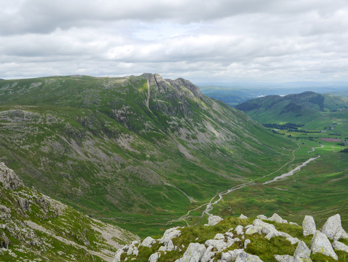
seen again across the Mickleden valley
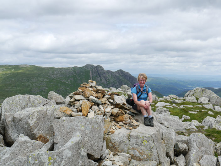
But I'm not sure if the highest cairn . . .
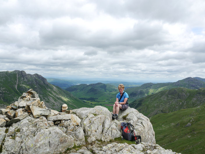
or the Mickleden Cairn is the Wainwright - so a photo on both!
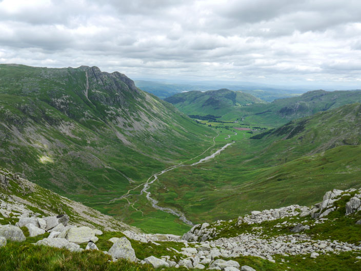
Mickleden Valley from a little used path leading across to Stake Pass
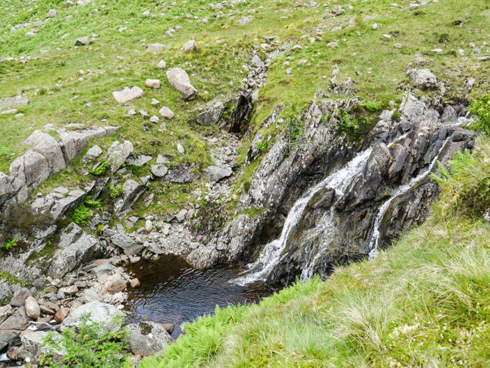
One of the waterfalls as I descended the many zig zags . . .
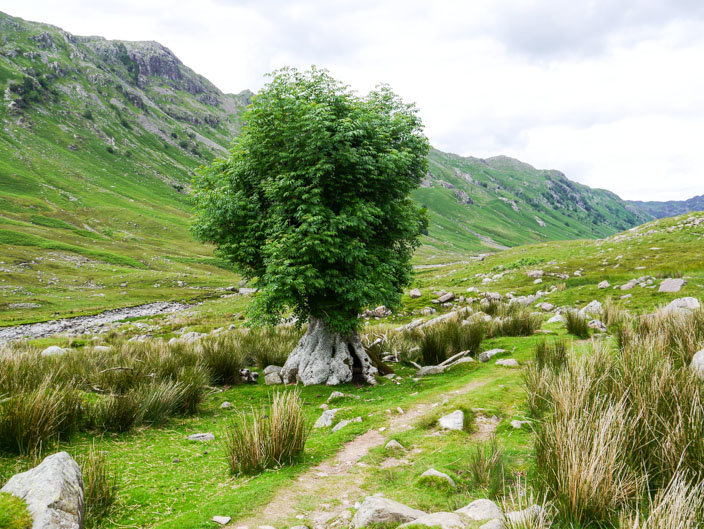
into the Langstrath Valley where this unusual tree . . .
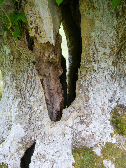
has a hollow trunk . . .
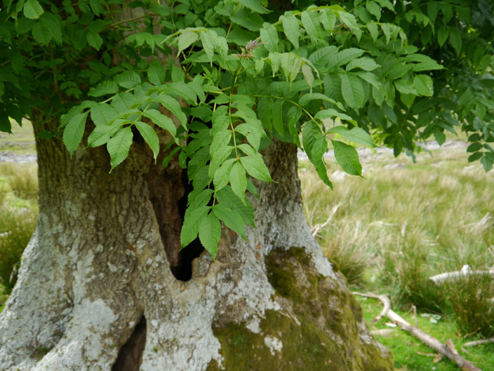
and 7 pairs of leaves and one single one - will possibly help to identify it
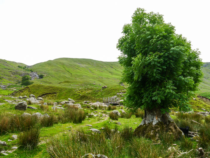
The descent looks easy from here!