Thursday, 19th June 2014
| Walk: | Newlands Beck, Uzzicar, Stonycroft Gill, Causey Pike, Scar Crags, Outerside, Stile End, Barrow | ||
| Start Point: | Braithwaite, Middle Ruddings Hotel | Grid Reference: | NY 233 239 |
| Distance: | 9.5 miles (+2.5 mls) | Ascent: | 2,870 feet |
| Time: | 5.5 hours | ||
| Weather: | Intermittent sun with a cool breeze on the summits | ||
| Comments: | Having only done Causey Pike and Scar Crags once before, in 2005, I decided it was time for another visit, and a walk I could complete directly from the hotel. A pleasant stroll took me along tracks and through fields to reach Uzzicar, the farmhouse near the start of the climb. Opting for the easier route I walked beside Stonycroft Gill as far as the reservoir (marked on the map but no sign en route). After crossing the Gill I headed up a diagonal path to join the Sleet Hause path. From here it was a rocky track with some 'scrambly bits' to reach the summit. An easier path took me on to Scar Crags and down to the path to Outerside and Barrow. Eventually the descent from Barrow becomes a pleasant wide grassy track which is quite tiring when walked in the opposite direction! As I finished this walk quite early I headed into Keswick to browse round the shops then walked back to the hotel, hence the extra 2.5 miles above. |
||
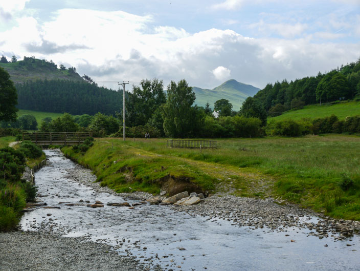
Walking beside Newlands Beck, Cat Bells comes into view
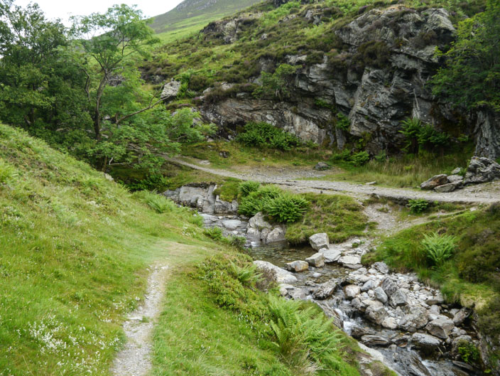
Where is the reservoir?
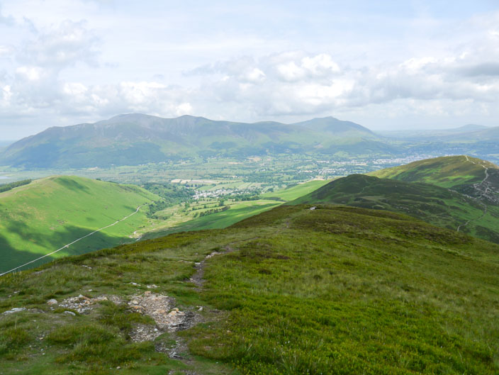
Barrow with the Skiddaw Fells behind
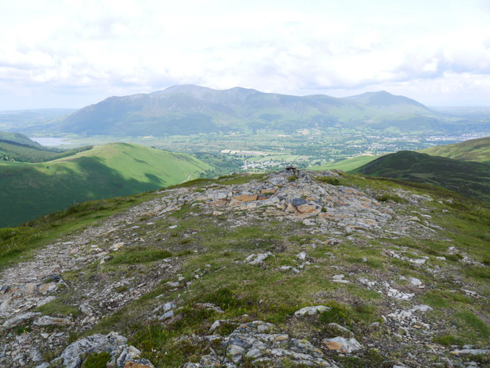
Meeting the Sleet Hause path I can now see Bassenthwaite with Skiddaw to its right . . .
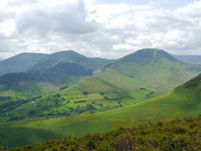
with Dale Head, Hindscarth and Robinson across the Newlands Valley
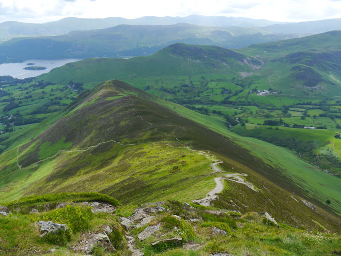
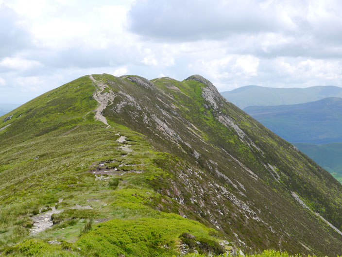
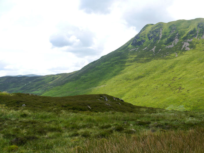
Not quite the easy stroll it looks!!!
But the views fron the top are worth the climb with Skiddaaw and Blencathra left and centre . . .
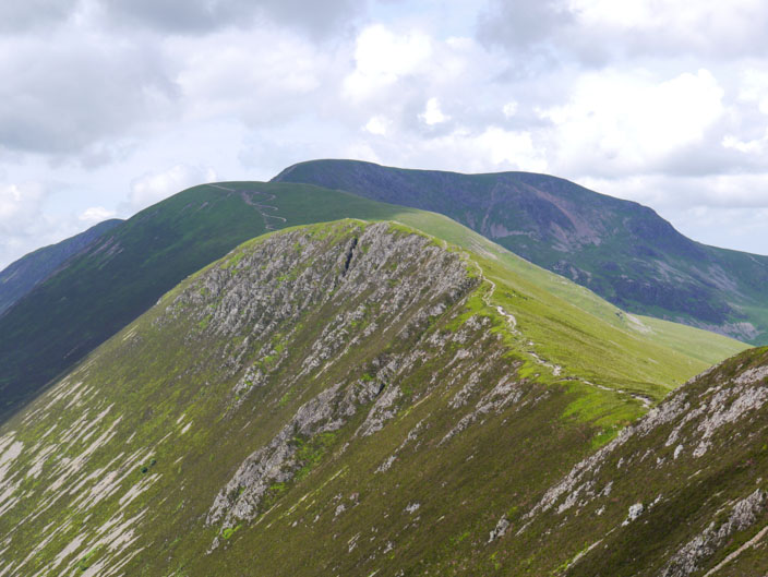
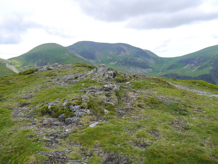
ScarCrags, Sail, Crag Hill and Hopegill Head up ahead . . .
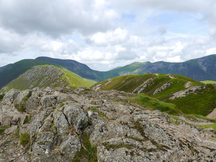
and a view back the way I came, I used the path on the left
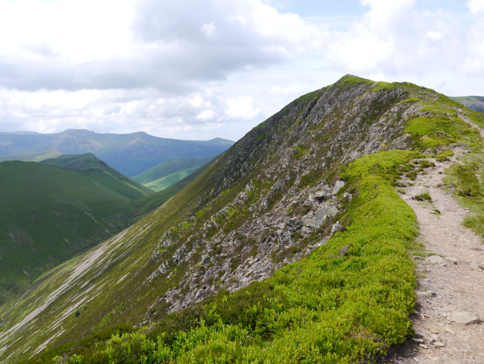
The face of Scar Crags gives it its name . . .
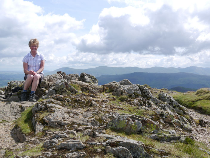
and the rocky summit is the perfect place for a break
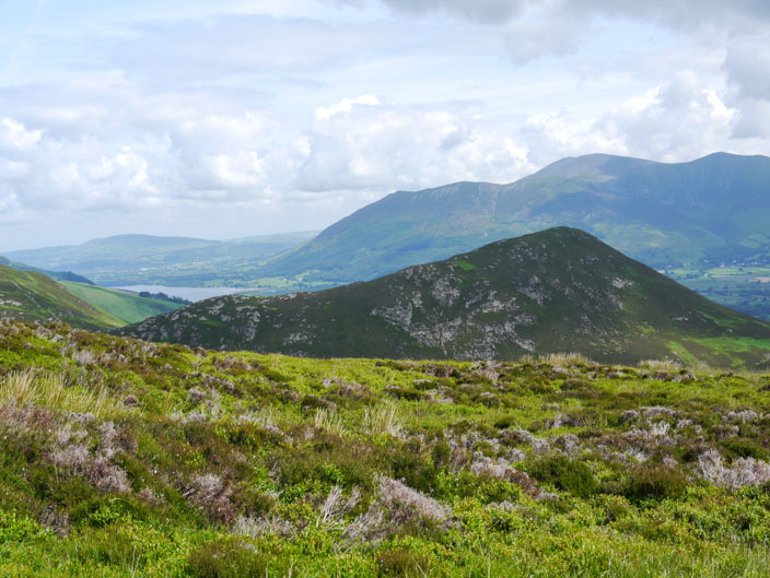
Knott Rigg and Ard Crags below Scar Crags
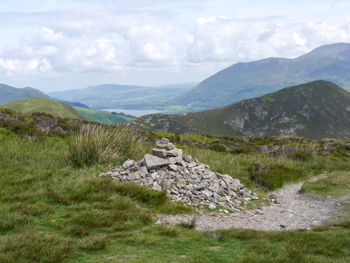
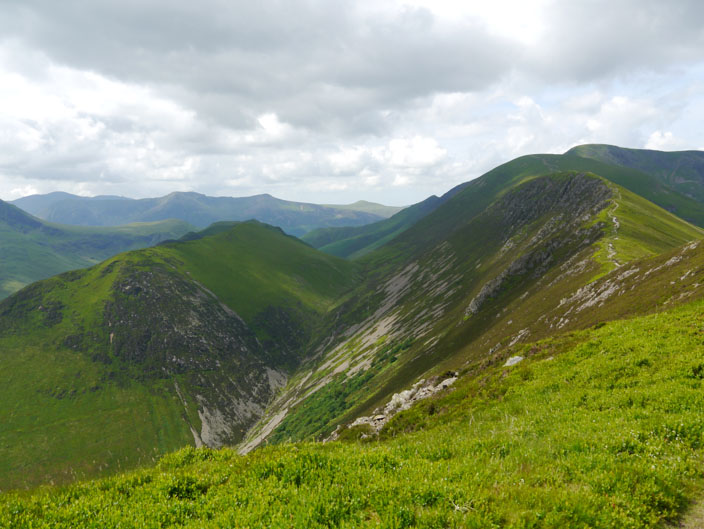
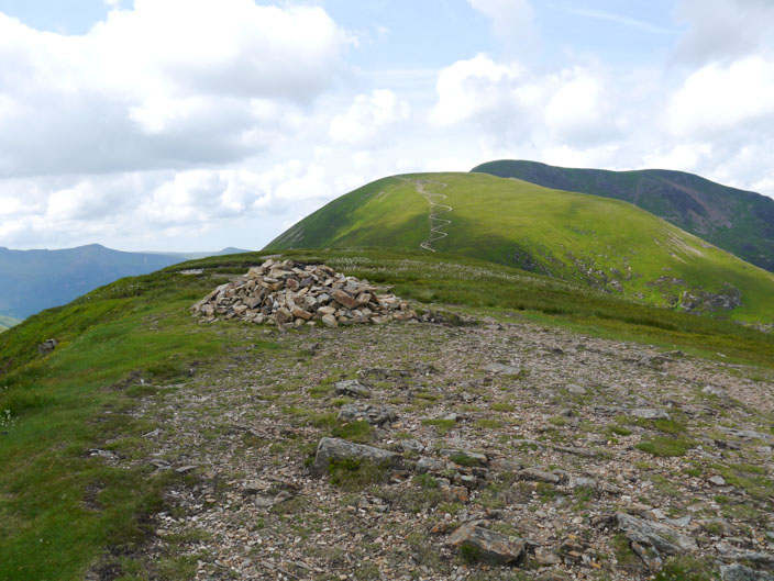
Looking back to Causey Pike, en route to . . .
Scar Crags
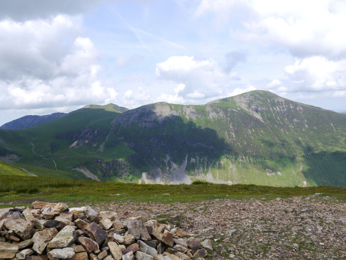
with Sail and Crag Hill beyond (but not for today)
Grisedale Pike across the valley with Hopegill Head and Whiteside to its left
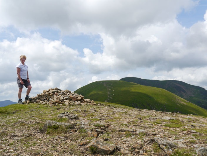
Another 'selfie' for the album
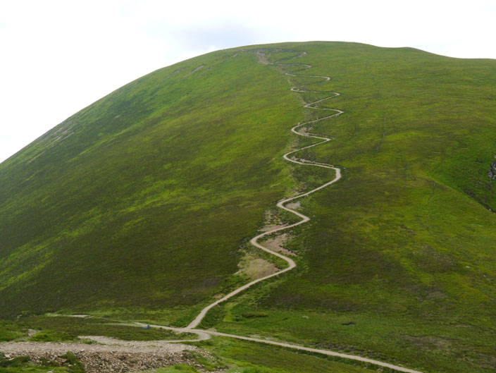
You can just spot two people on the zig zag path to Sail

Are we nearly there yet?
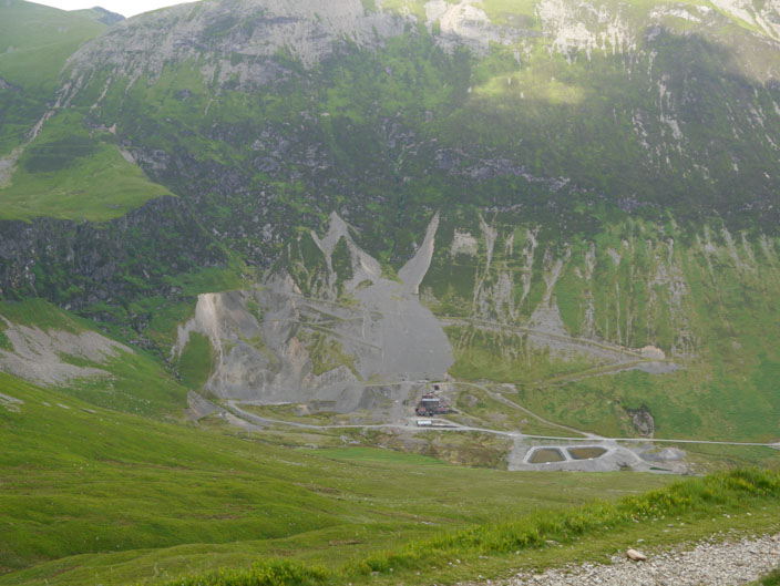
Force Crag mine . . .
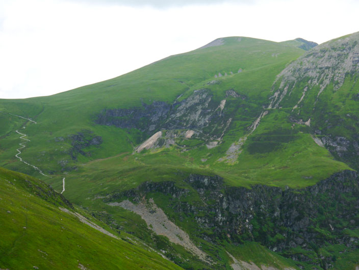
with higher workings to its left . . .
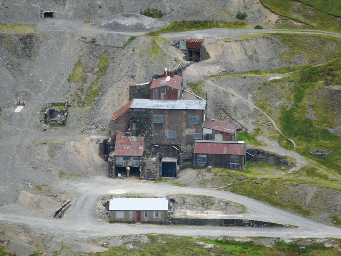
Force Crag Mine was the last working metal mine in the Lake District prior to its final abandonment in 1991. It is now a Scheduled Ancient Monument and a geological SSSI
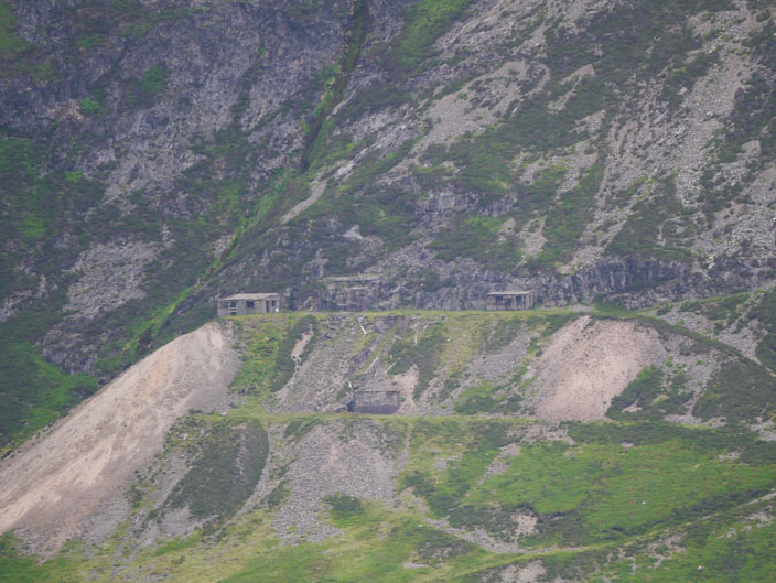
Zooming in on the higher buildings, possibly one of the mine entrances
Views of the Skiddaw Fells from Outerside . . .
and looking back to Sail and Crag Hill - my path down just in view on the left
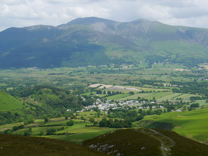
Keswick is just in view with my onward route on the right
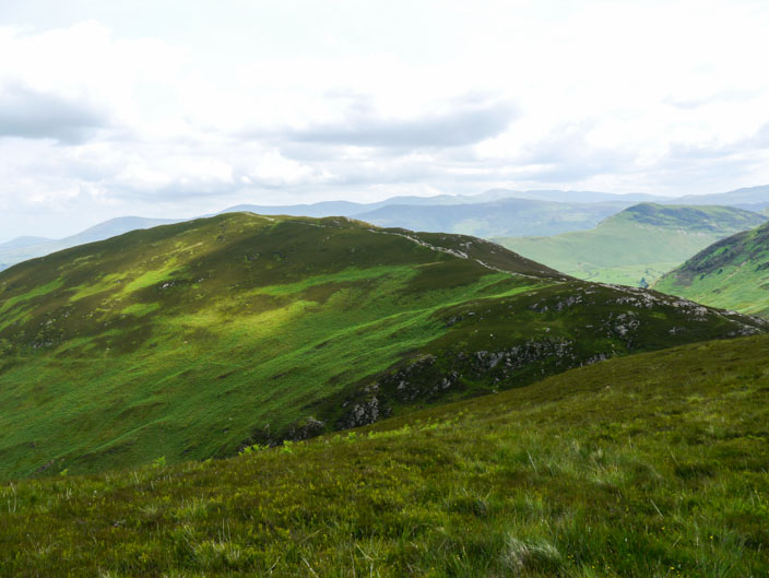
Looking back to Outerside as I make my way to Stile End . . .
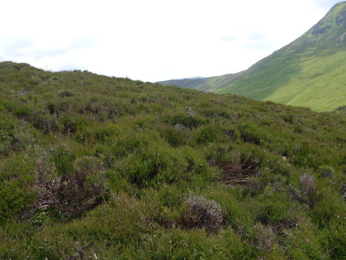
and bird song gives away the location . . .
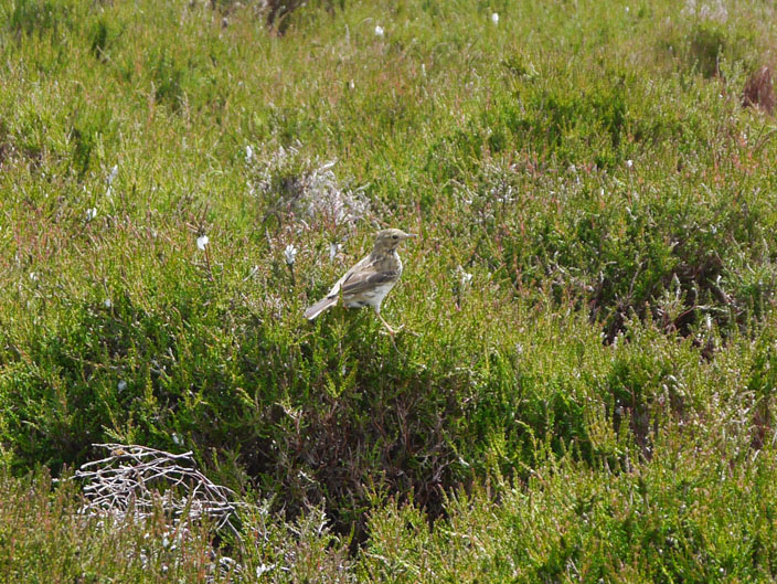
of a friendly bird
The true incline of the climb up to Causey Pike can be seen from here . . .
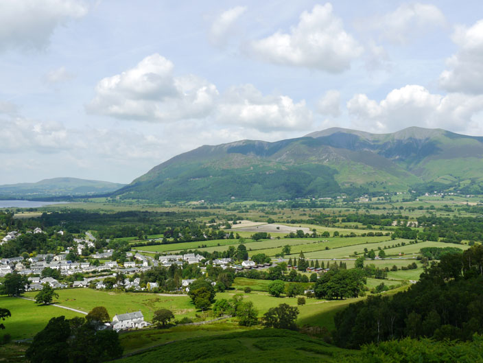
and Bassenthwaite is overlooked by the Skiddaw Fells
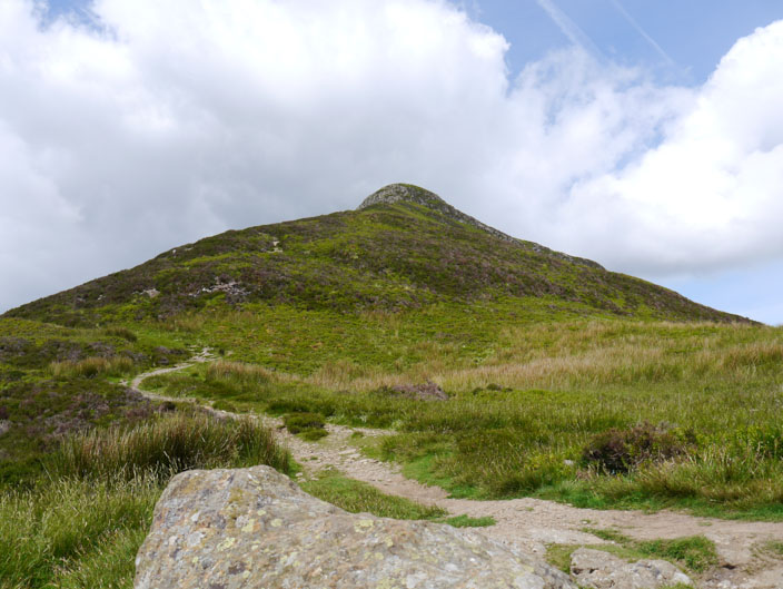
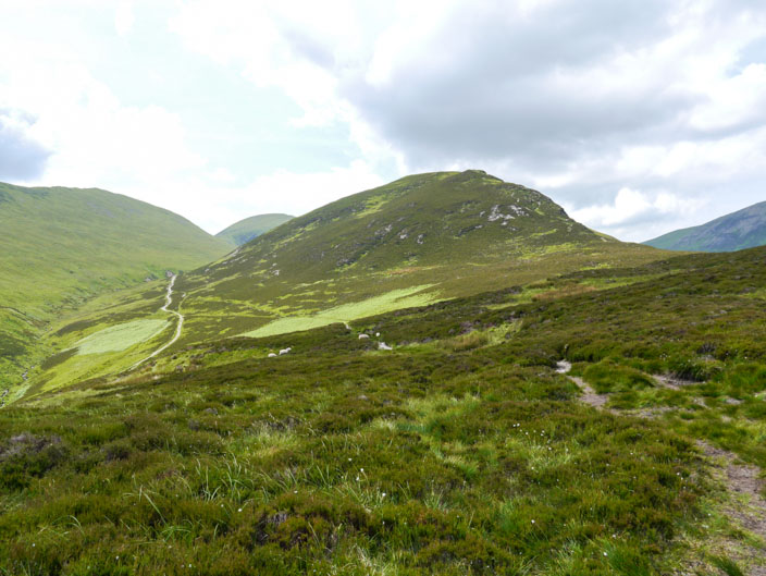
Barrow - the last summit of the day . . .
which doesn't take long to reach
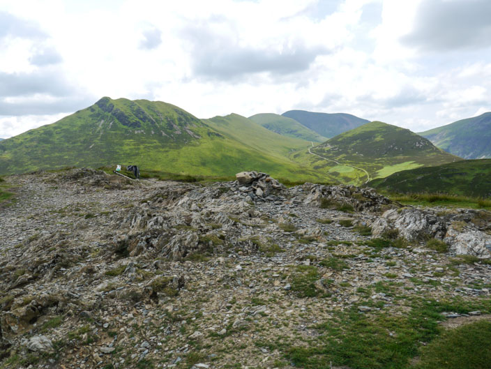
Today's route from the left - Causey Pike and Scar Crags then down and up to Outerside, leaving out Sail and Crag Hill in the distance
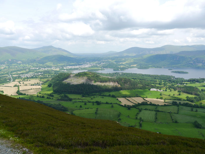
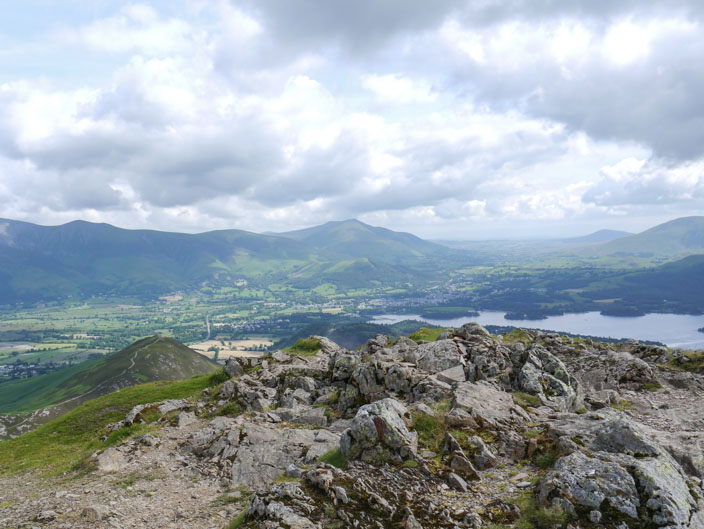
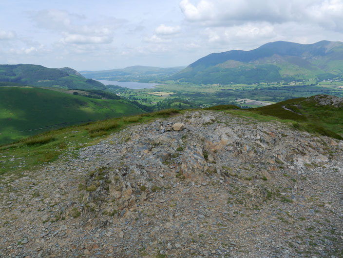
A final look over Derwent Water . . .
and across to Skiddaw . . .
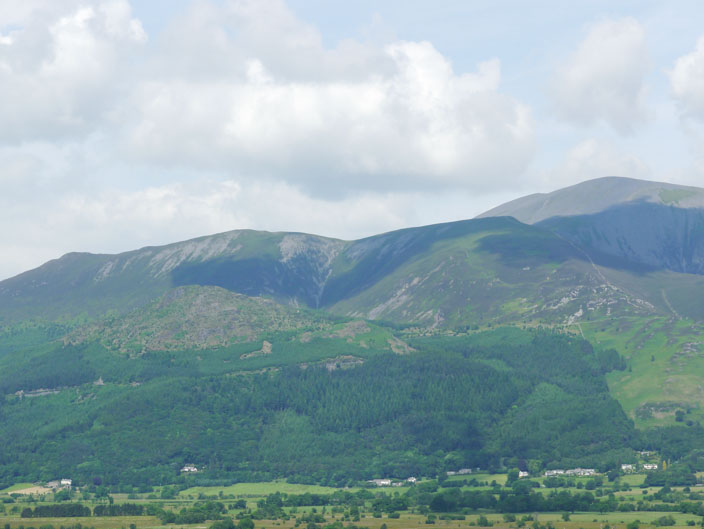
which stands proud above Ullock Pike and Carl Side which in turn stand above Dodd
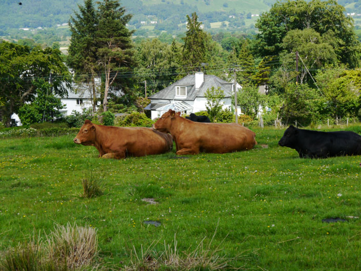
Would you like your back scratching?
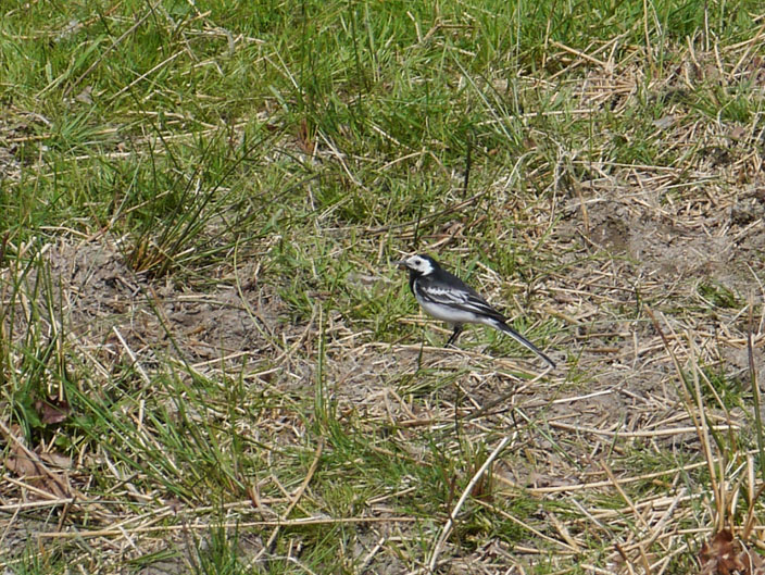
A wagtail poses for the final photo of the day