Friday, 20th June 2014
| Walk: | Scope End, Hindscarth, Littledale Edge, Robinson, Blea Crags, High Snab Bank | ||
| Start Point: | Little Town | Grid Reference: | NY 233 914 |
| Distance: | 7.8 miles | Ascent: | 2,760 feet |
| Time: | 4.25 hours | ||
| Weather: | Sometimes overcast with some rolling mist | ||
| Comments: | Time for a short walk before I headed home so I chose a couple of nearby summits that I haven't done for a while. An interesting ascent took me up Hindscarth, with a number of rocky/scrambly sections on the way. I had forgotten that Littledale Edge has quite such a long drop and climb onto Robinson - why does the mind make these ommissions??!! By the time I reached Robinson the hazy views had become misty - but of course everything had cleared by the time I was heading down to Blea Crags. A couple of tricky sections needed some care before the easier walking over High Snab Bank and back to the car. | ||
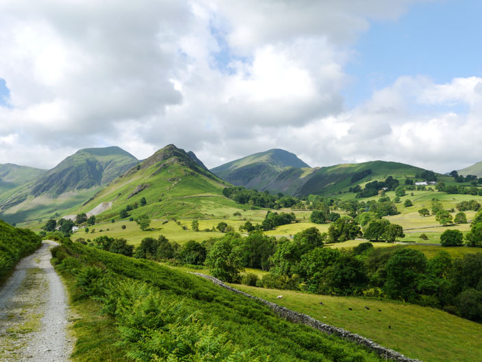
Approaching Low Snab much of the walk can be seen with Hindscarth on the left and Robinson on the right

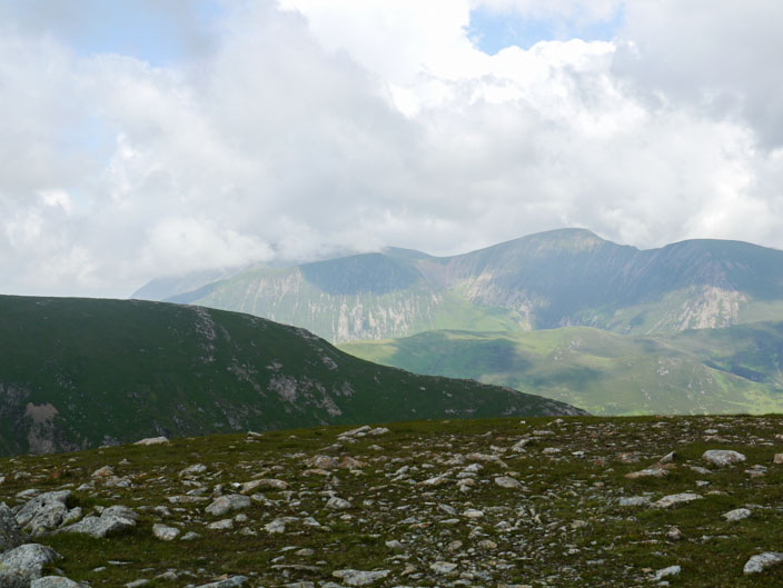
Across the Newlands Valley Causey Pike, where I went yesterday, is reaching into the mist
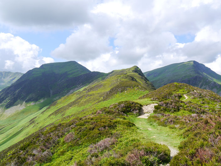
A couple of rocky outcrops then a more gradual path lead to the top
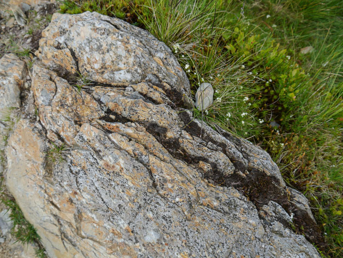
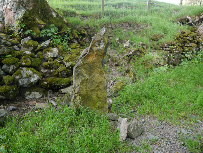
On the way I noticed that the rock underfoot is made up of . . .
different types of slate - which I had recently been reading about
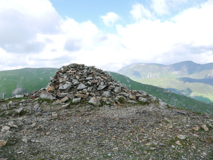
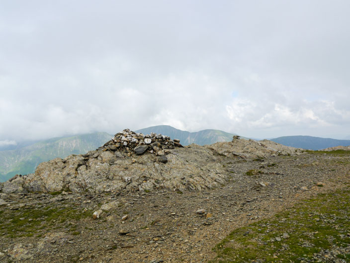
Looking across to Grasmoor from the cairn, but this isn't the highest point . . .
the shelter takes that honour, with Dale Head to the left
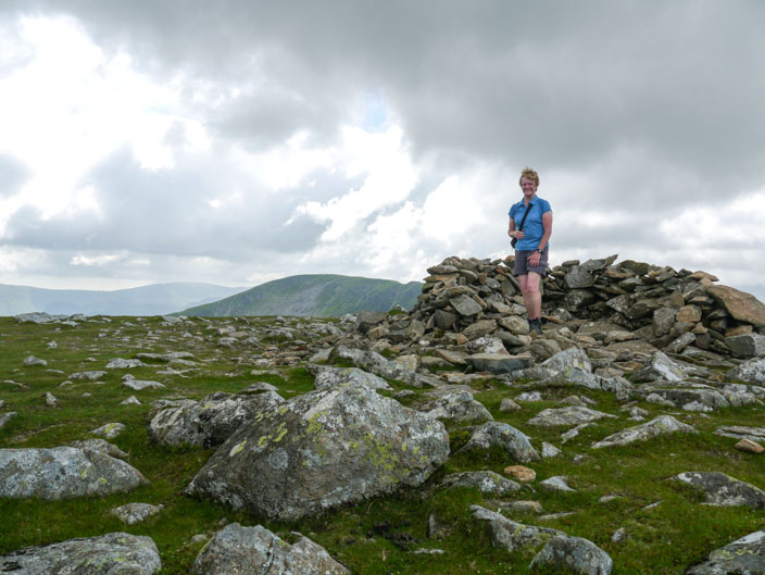
So my photo has to be in the shelter!
More mist rolled in as I left the summit . . .
and joined the Littledale Edge path where I could see Buttermere with its attendent fells

Looking back to Hindscarth I spotted a diagonal path I could have taken - perhaps next time!

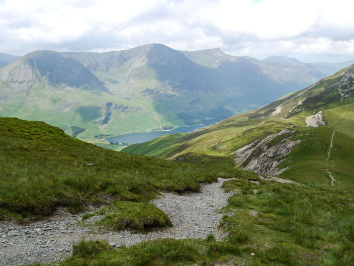
Buttermere and Crummock Water in the haze as I reached . . .
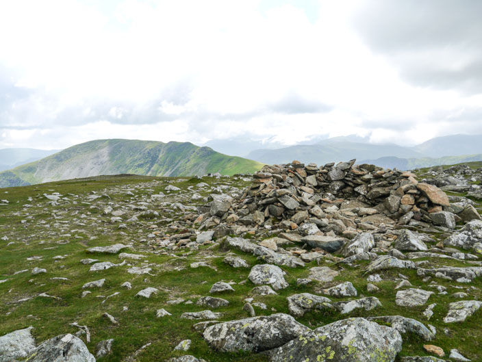
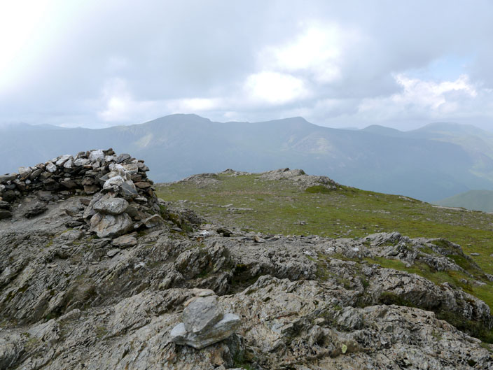
Robinson summit cairn . . .
and shelter
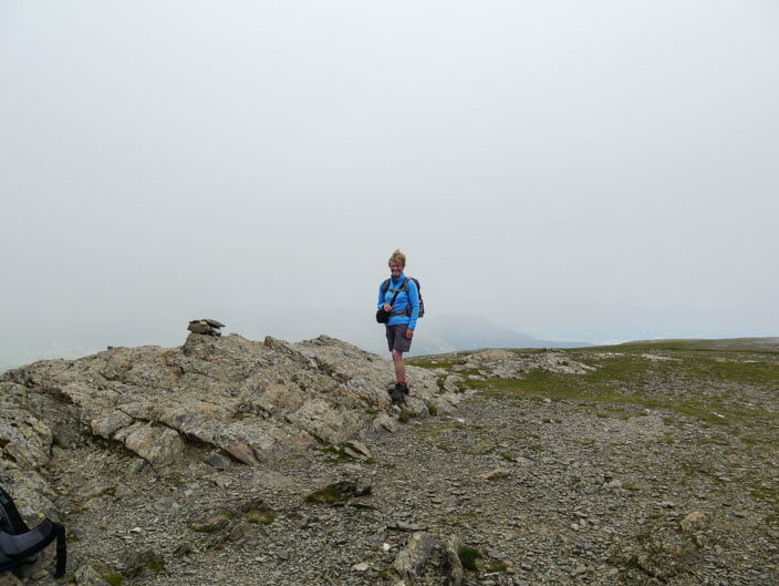
But by the time I get round to a photo the mist has closed in
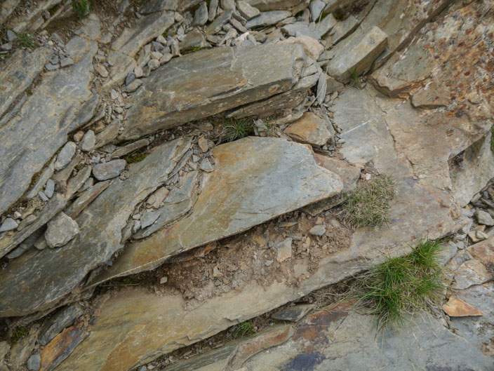
I'll have to check the book as it mentions these large slabs of rock