Wednesday, 24th September 2014
| Walk: | Lanthwaite Green Farm, Gasgale Gill, Whin Ben, Whiteside, Hopegill Head, Sand Hill, Grasmoor, Crag Hill, Wandope, Whiteless Pike, Buttermere, High Rannerdale | ||
| Start Point: | Cinderdale Common | Grid Reference: | NY 163 194 |
| Distance: | 12 miles | Ascent: | 4,900 feet |
| Time: | 7.5 hours | ||
| Weather: | Overcast in the morning but sunny with a cold breeze on the summits in the afternoon | ||
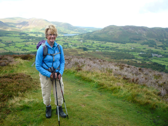
| Comments: | With a tough climb to Whiteside planned for today, Sheila decided on a more relaxed alternative, a couple of circuits of Buttermere. Starting from Lanthwaite Green Wainwright considers this the best route up the fell and describes it thus: 'This ascent which promises nothing but a hard grind, turned out instead to be a delightful and interesting climb.' The climb, or a more correct description may be a scramble, was certainly interesting but also hard work and rather slippery in places. It was a real sense of achievement when we reached the summit. The undulating, rocky and sometimes exposed ridge then took us across to Hopegill Head before heading off to Grasmoor, Crag Hill, Wandope and Whiteless Pike. After descending into Grasmere to find Sheila in the Tea Rooms, we made our way back up Grassgarth Coppice to follow the route through High Rannerdale and back to the car. One of the highlights of the walk was to see 4 jets head, one after the other, down the valley and over Mellbreak, twice, then down the valley and over Buttermere! |
||

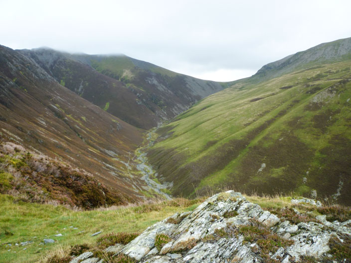
Crossing Gasgale Gill . . .
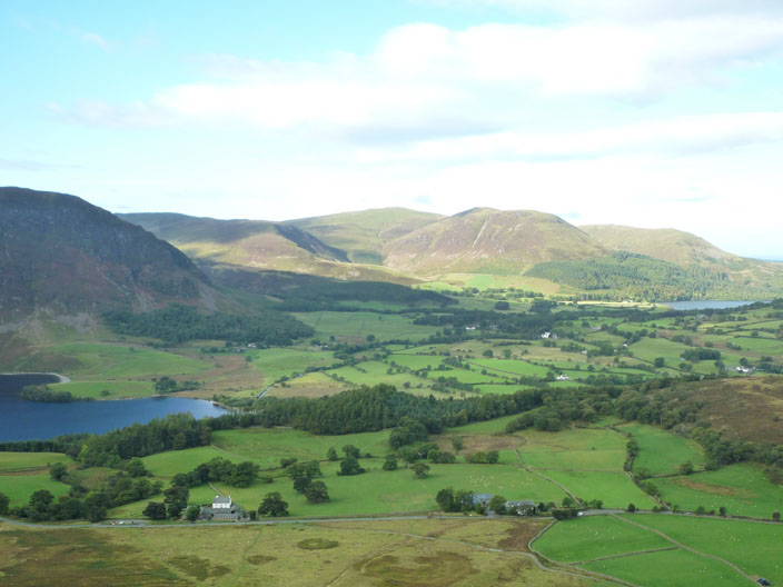
the steep climb soon gives us good views to Crummock Water and Mellbreak on the left. . .
with Loweswater and Fellbarrow on the right
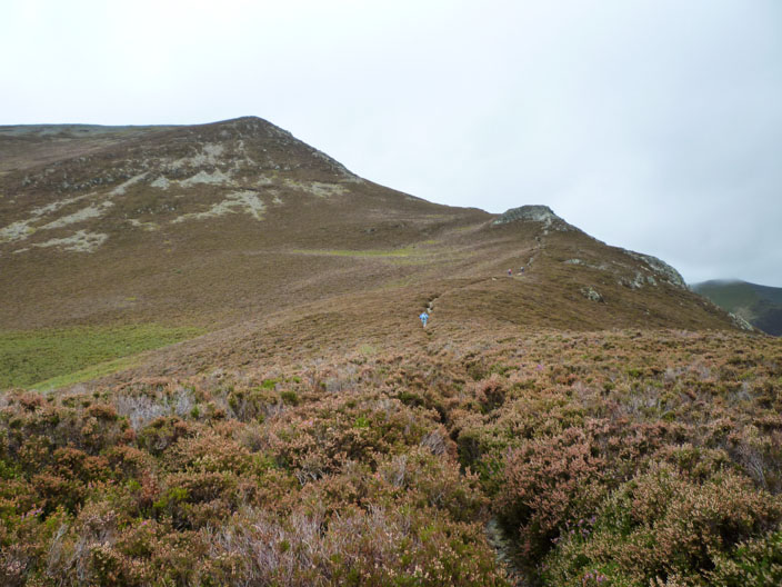
Our route continues through heather . . .
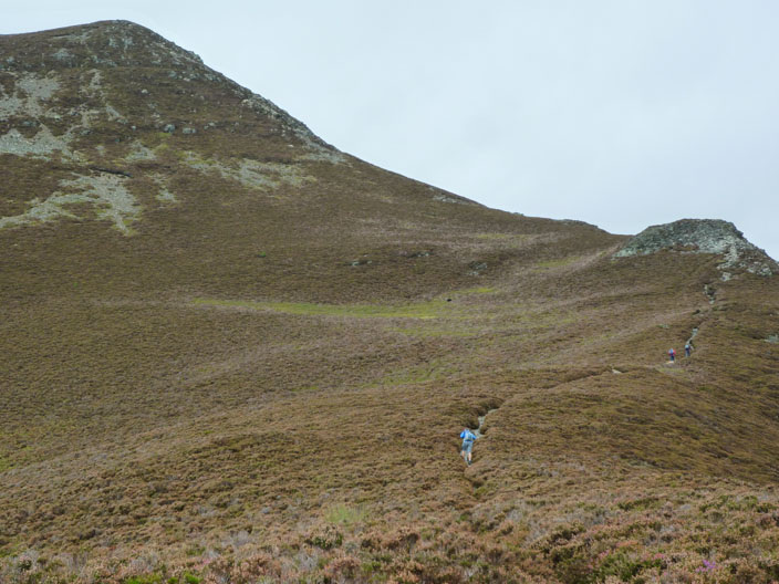
with the rocky scrambles becoming more evident

A short flat section after the first scramble . . .
also has views up Gasgale Gill to the hause
Another pause for a photo . . .

as we manage to capture first one of the four jets we heard . . .
then a second one flying low over Crummock Water
A last view from the climb . . .
before Whiteside finally appears . . .
and Scotland doesn't seem too far away
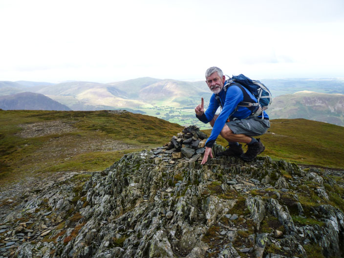
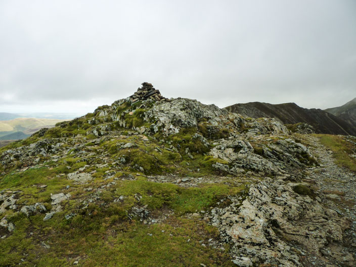
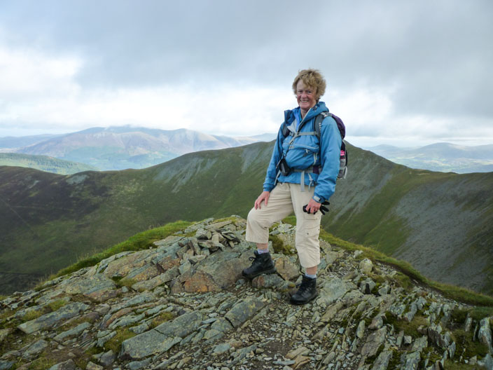
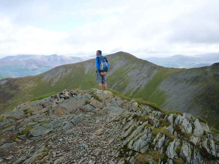
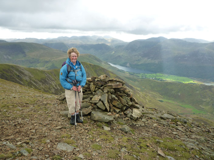
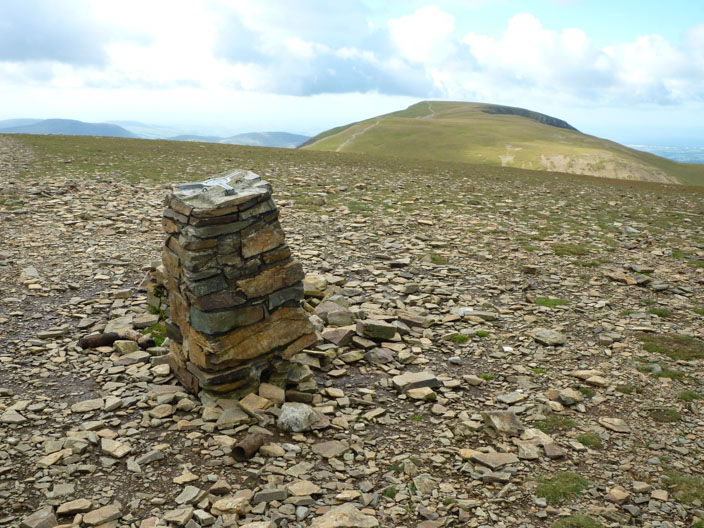
Ian marks his penultimate summit . . .
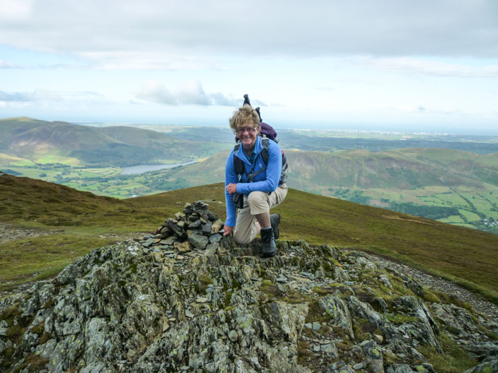
and Kath now has a photo of this one, last done in 2005
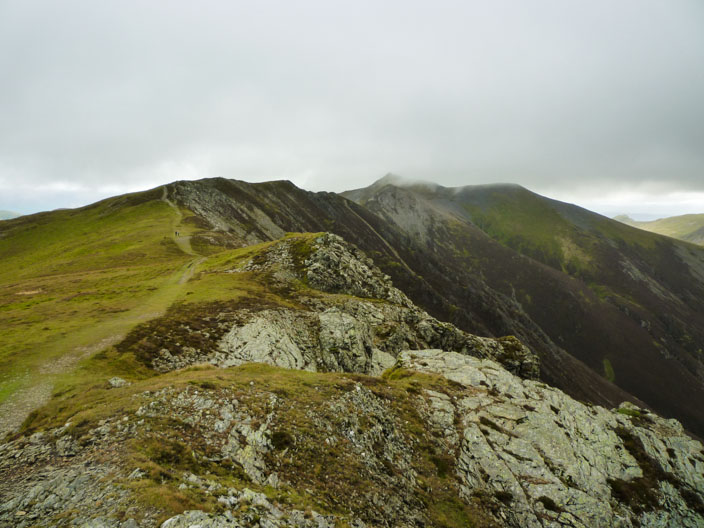
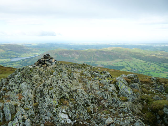
A rocky undulating path leads to Hopegill Head (just in mist)
Looking back to Whiteside . . .
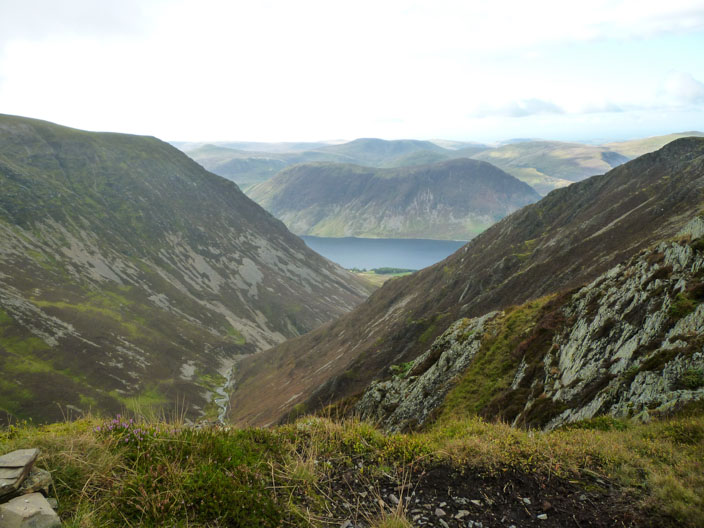
and down the valley to Crummock Water
then another shot on Hopegill Head to add to previous ones
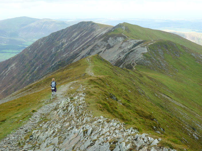
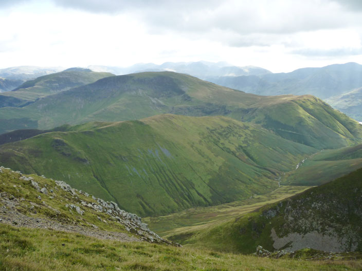
Looking back again along the ridge gives a better idea of the terrain
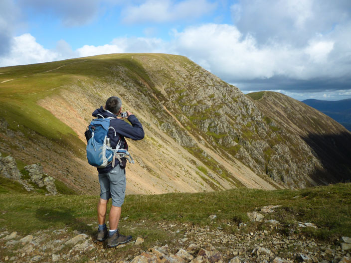
Ian peruses the scene . . .

as cloud touches the summit of Skiddaw
Grisedale from Sand Hill . . .
and down the Codale Valley to Blencathra
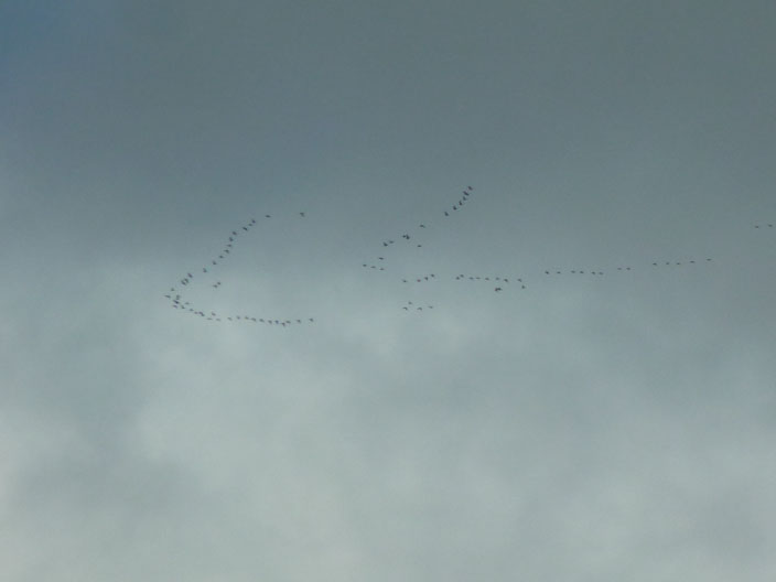
Now I wonder where the geese are going?

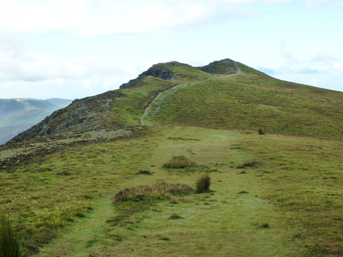
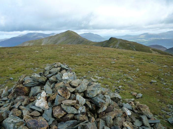
On the way to Grasmoor fells are popping up all over the place!
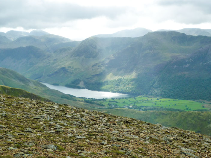
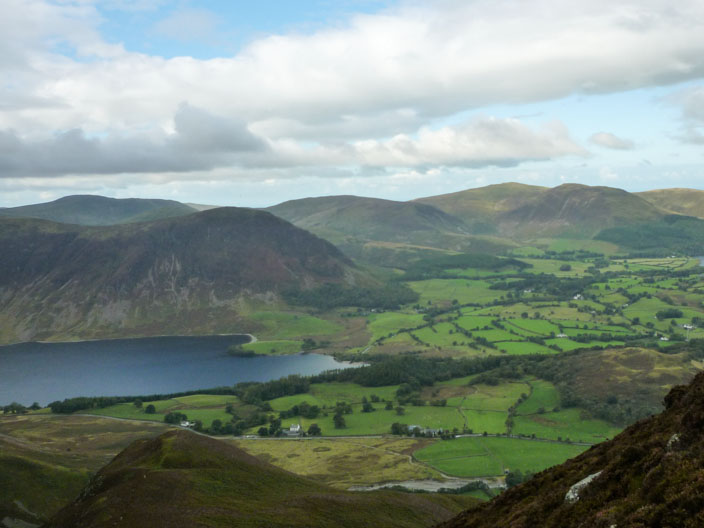
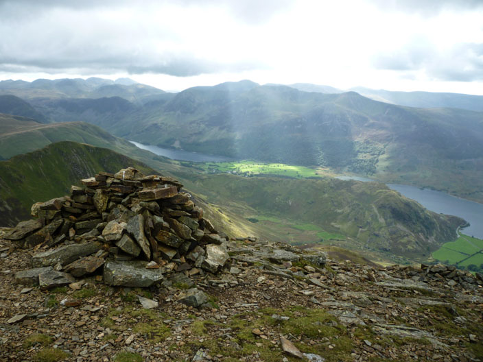
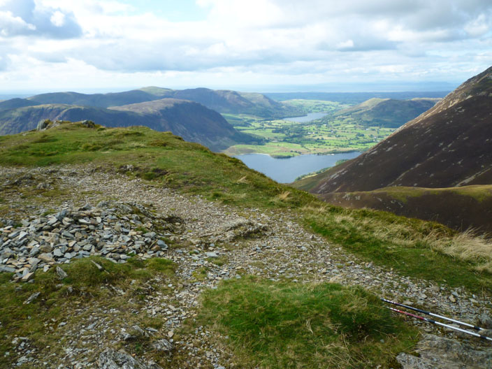
A shaft of sunlight highlights Buttermere where Sheila is doing a 'round the lake'Walk (twice)
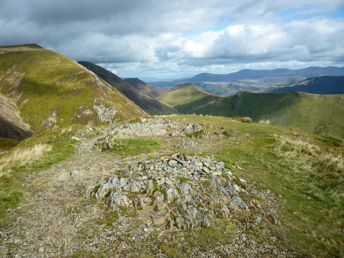
The shelter and cairn from the lower cairn to the west . . .
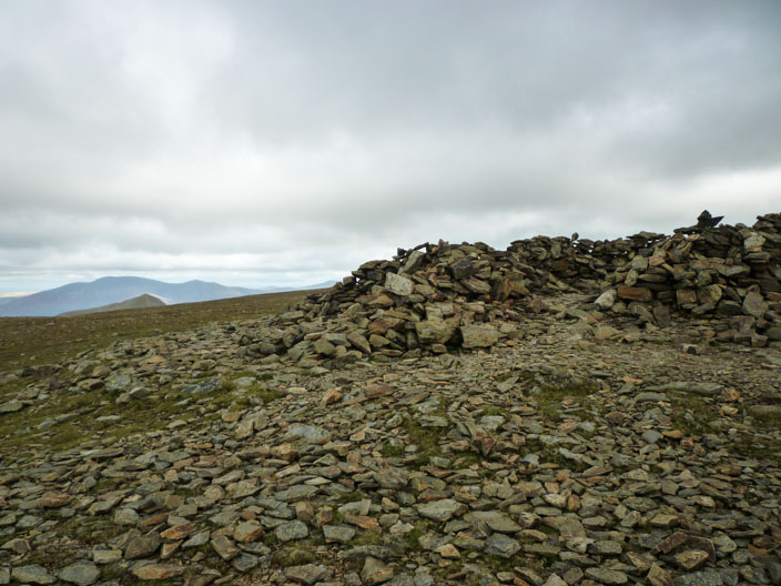
then back up to the shelter . . .
and the higher cairn . . .
as the sun breaks through again
The trig point on Crag Hill (Eel Crag) is looking a bit wonky . . .
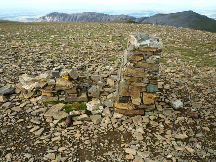
not surprising as it has parted from its base!

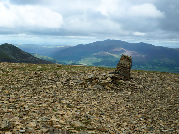
Outerside, Barrow and Causey Pike in the foreground with Keswick just beyond . . .
and looking back to Grasmoor
Robinson top centre with the Knott Rigg ridge in front . . .
Ian checks out our lunch stop in the flanks of Crag Hill as we make our way to . . .

Wandope . . .
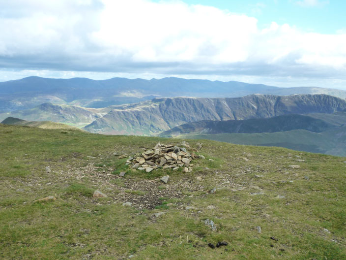
and check out Robinson for another day
Knott Rigg and Ard Crags from Whiteless Pike . . .

amd looking into the Mill Beck Valley, part of the Cumberland Way . . .
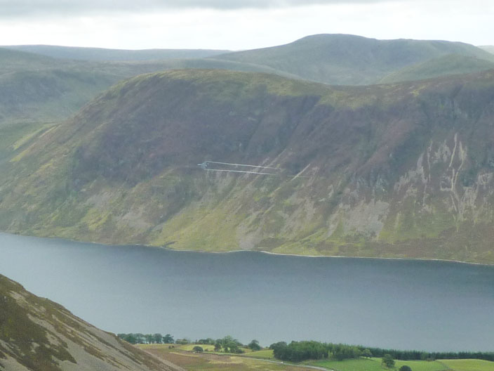
then across to Crummock Water and Loweswater
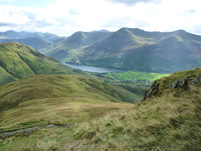
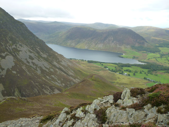
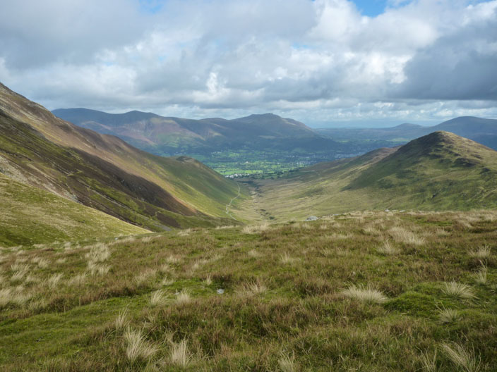
As we descend the sun shines on the Buttermere Fells . . .
and lights up High Rannerdale
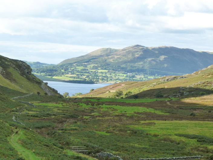
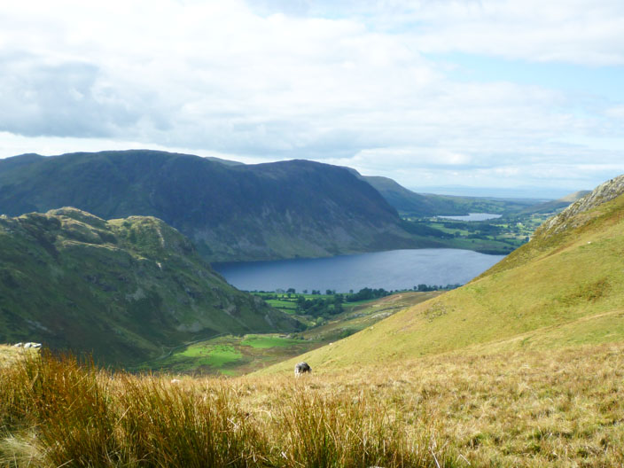
Heading through High Rannerdale Crummock Water comes into view . . .

as we return to the car