Tuesday, 2nd September 2014
| Walk: | Kentmere Valley, Nan Bield Pass, Harter Fell, Gatescarth Pass, Tarn Crag, Grey Crag, Great Howe | ||
| Start Point: | Sadgill | Grid Reference: | NY 583 057 |
| Distance: | 11.6 miles | Ascent: | 3,300 feet |
| Time: | 6.5 hours | ||
| Weather: | Sunny and warm | ||
| Comments: | Combining parts of two walks made for a very enjoyable route up the Kentmere Valley, across Harter Fell to the Gatescarth Pass and back to Sadgill via Tarn Crag and Grey Crag. A beautiful day with intermittent sun and great views. | ||
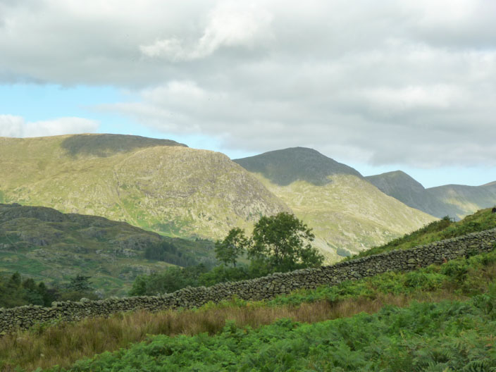
Yoke, Ill Bell and Froswick . . .
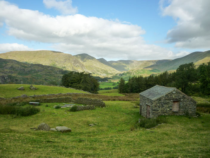
from the path to . . .
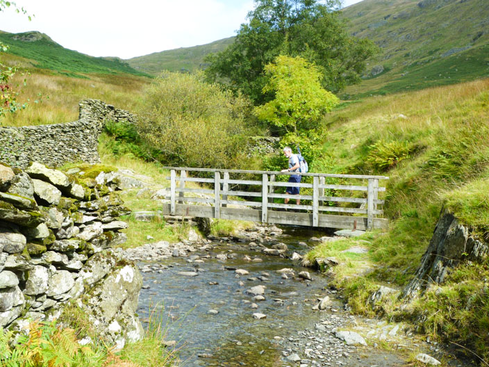
the Kentmere Valley
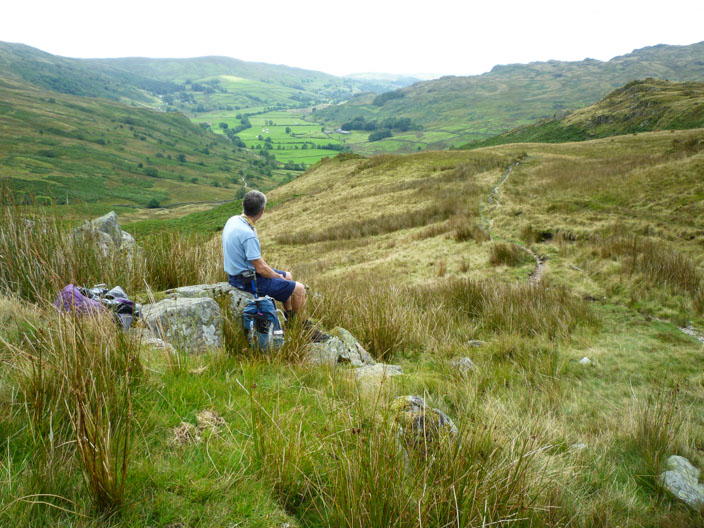
Morning break, looking back down the valley
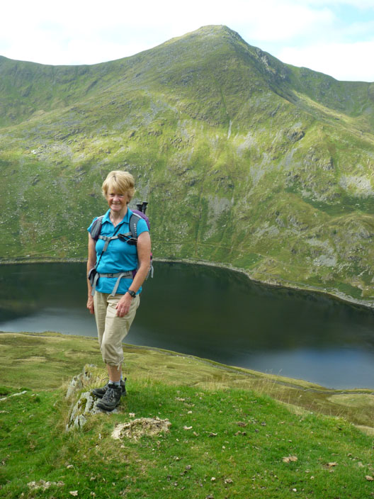
Kentmere Reservoir
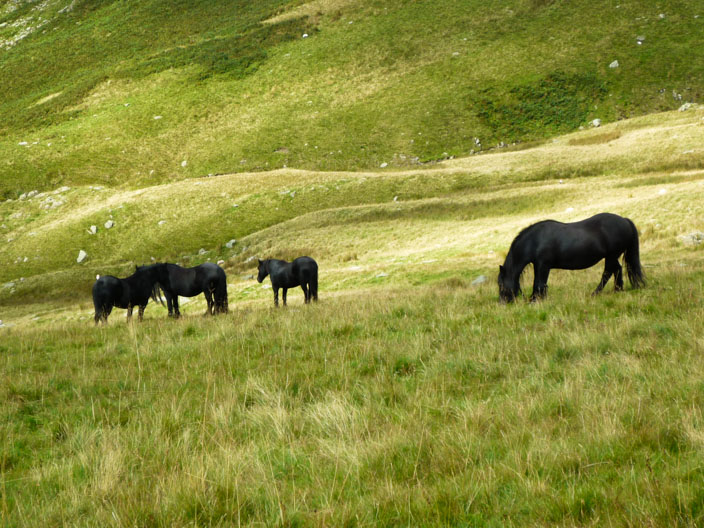
Some smart-looking fell ponies

Nan Bield Pass . . .
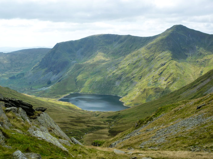
with views back to the reservoir
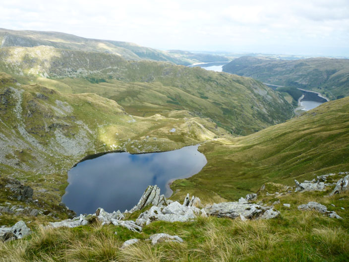
As we ascend Small Water and Haweswater come into view
Harter Fell with Riggindale and Kidsty Pike in the distance
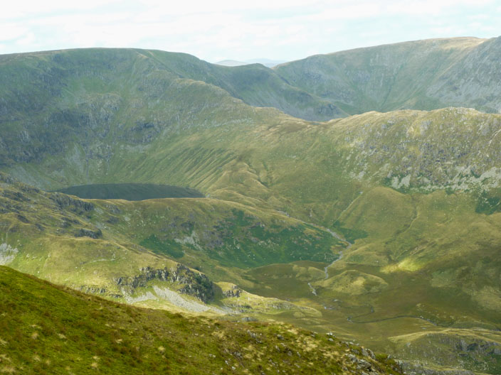
Blea Water overlooked by Long Crag and Rough Crag
Zooming in on The Rigg
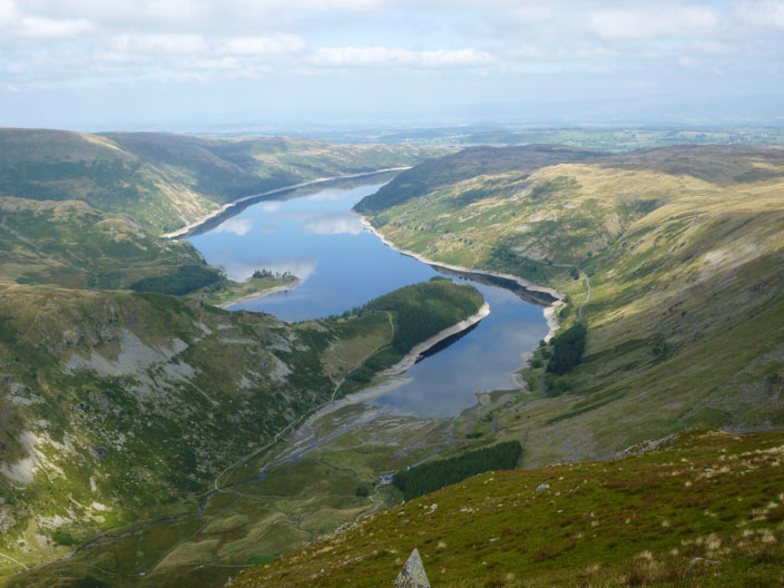
at the southern end of Haweswater . . .
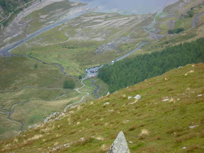
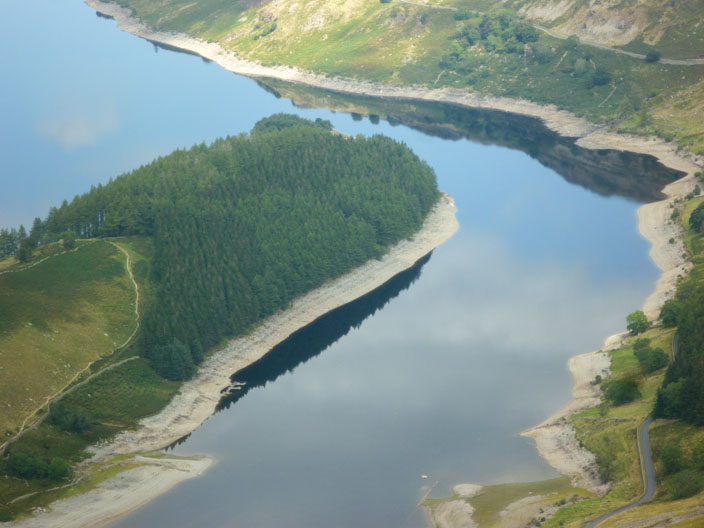
and taking a closer look at Mardale head car park and the results of the low level of water
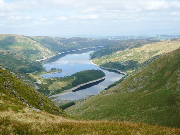
Haweswater again from the descent

Mosedale Cottage, almost hidden in trees - as we climb Tarn Crag
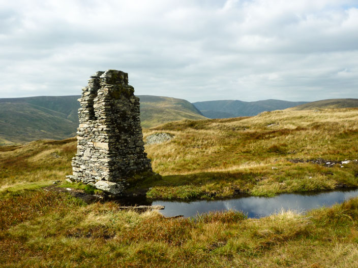
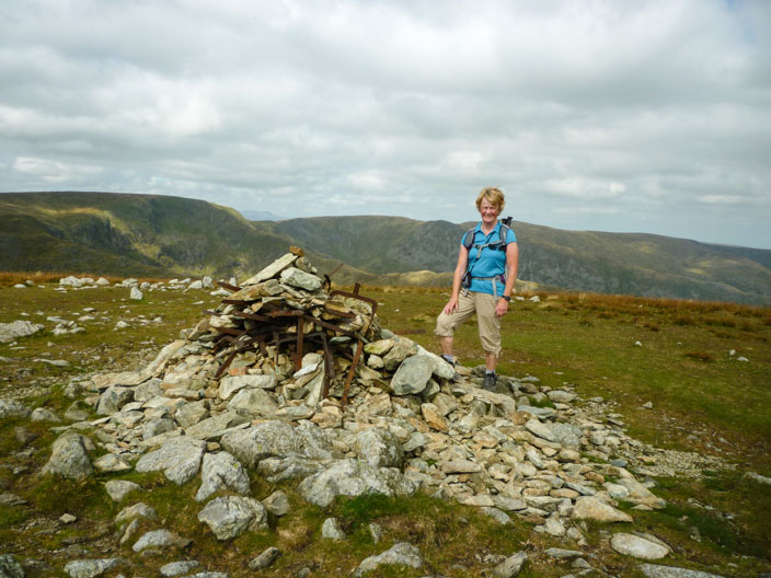
The Pillar on Tarn Crag - a survey colmun used in the construction of the Haweswater aqueduct
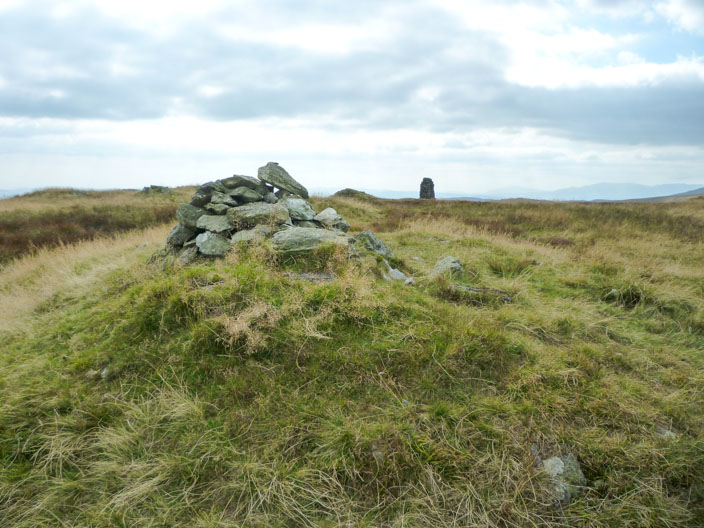
The Wainwright sits a little distance ffom the Pillar . . .
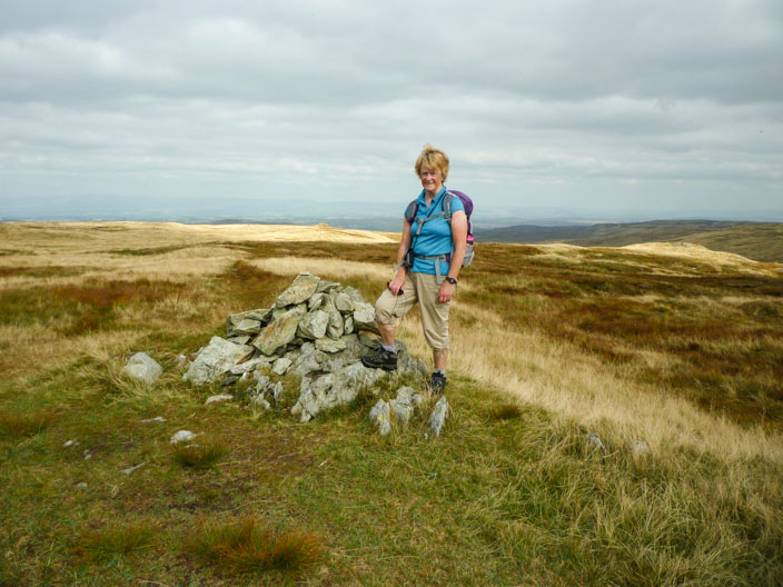
and commands views across to Shap
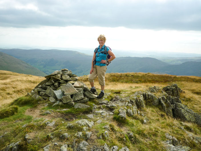
Reaching Grey Crag . . .
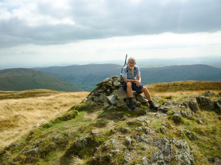
Ian takes a break . . .

before we continue on to Great Howe with views to Longsleddale

Looking up the path to the Gatescarth Pass . . .
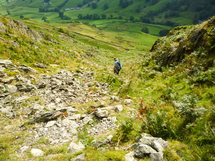
and down the rocky gully . . . .
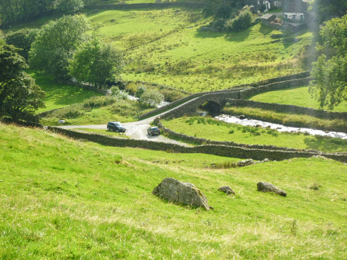
which leads us back to Sadgill, out parking spot