Thursday, 7th April 2016
| Walk: | Stronstrey Bank, Anglezarke Reservoir, Yarrow Reservoir, Lead Mines Clough, Redmonds Edge, Great Hill | ||
| Start Point: | White Coppice | Grid Reference: | SD 619 190 |
| Distance: | 10 miles | Ascent: | 1,500 feet |
| Time: | 4.25 hours | ||
| Weather: | Dry but dull with the wind becoming stronger in the afternoon | ||
| Comments: | Despite all the recent rain I managed to complete the walk in the dry but the swollen streams and high keveks in the reservoirs were evidence of the wet weather in the past few days. | ||
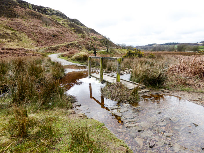
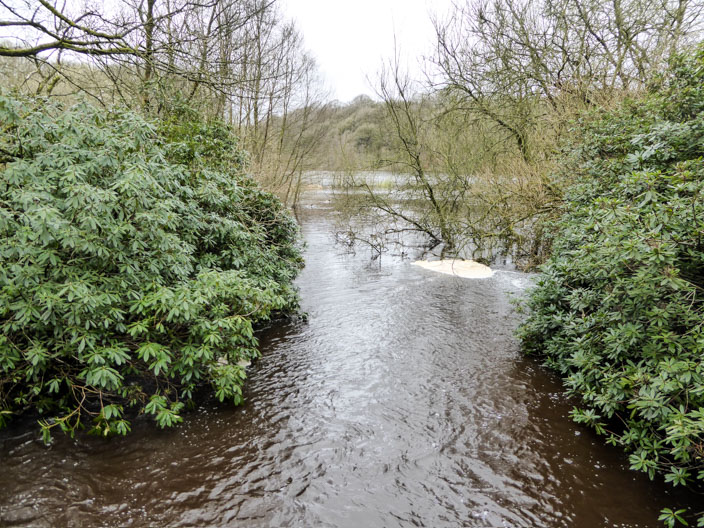
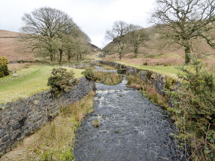
Signs of recent heavy rain . . .
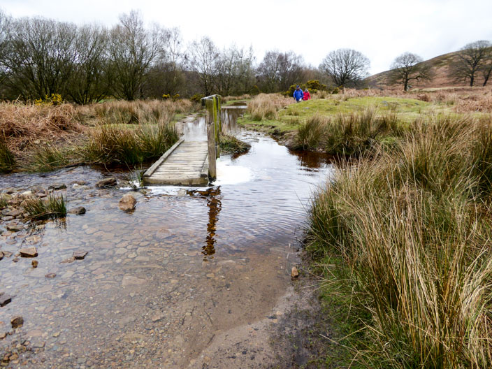
as the bridge is in danger of being submerged
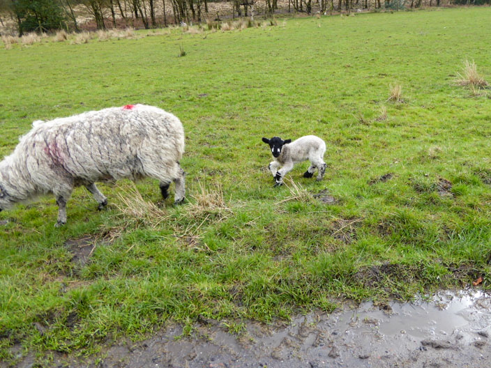
The lamb attracts my attention . . .
but sadly its front legs seem to be deformed
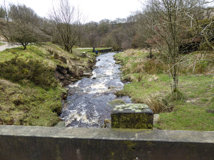
Water flowing into Yarrow Reservoir is at quite a high level
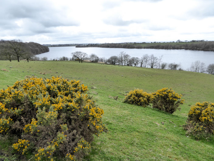
Anglezarke Reservoir
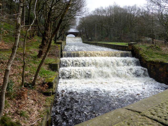
Yarrow Reservoir outflow . . .
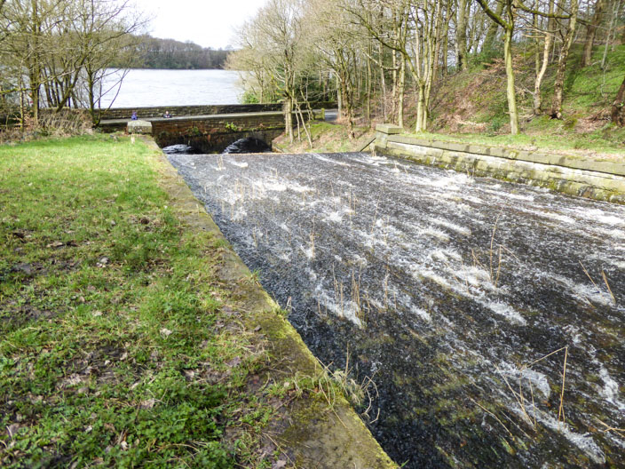
where water races over the cobbles . . .

as it leaves the weir
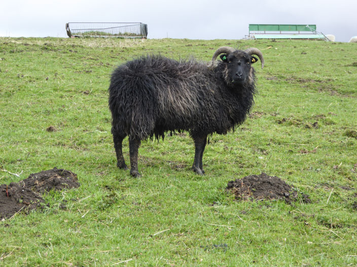
Unusual breed of sheep
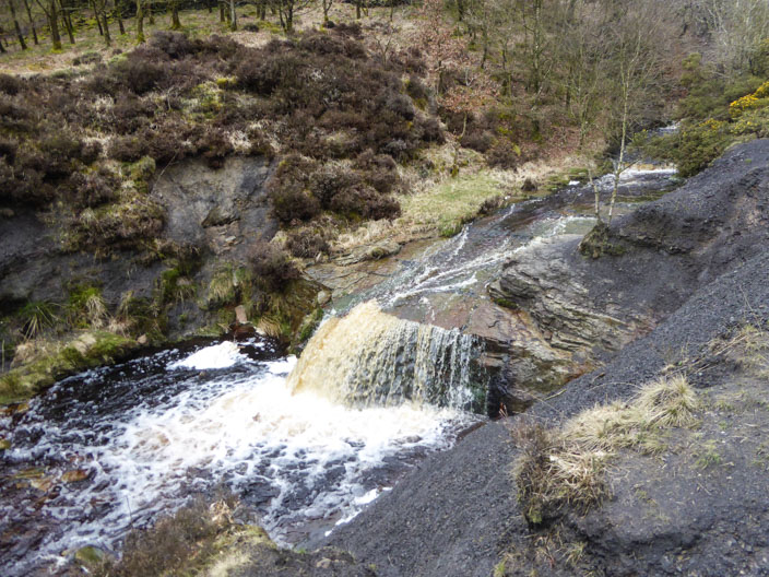
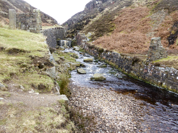
Lead Mines Clough an area of picturesque waterfalls . . .
in a rocky gorge and the site of a mine . . .
that had its heyday in the 1780s
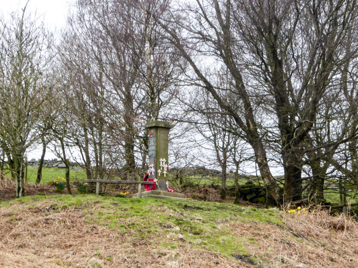
Zooming across to the memorial to a 1943 Wellington Bomber air crash on these moors which killed six airmen
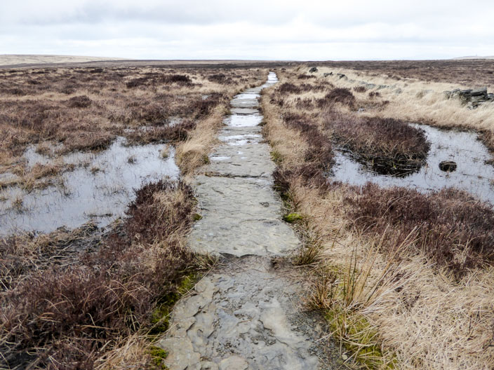
Redmond Edge, leading to . . .
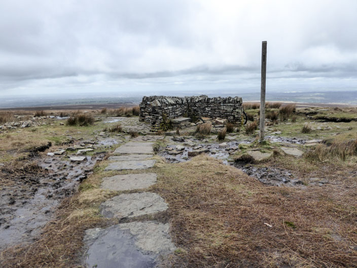
Great Hill
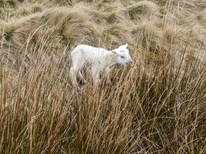
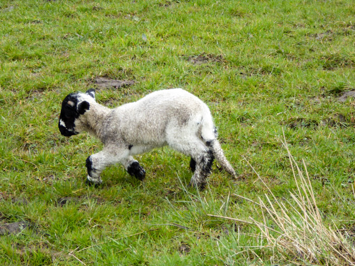
This tiny lamb . . .

was calling for its mother - but no reply!
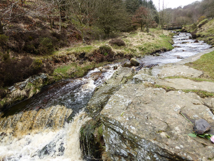
Dean Black Brook, where the waterfalls . . .
are partially man-made
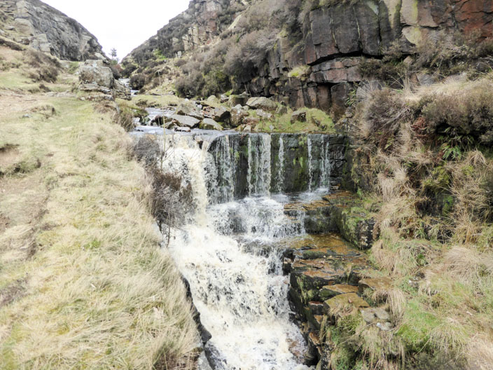
as the stream bed has been adapted as it flows through a steep ravine