Saturday, 2nd January 2016
| Walk: | Terraced Gardens, Japanese Garden, Rivington Pike, Belmont Road, Sheep House Lane, Alance Bridge, Anglezarke Reservoir, Yarrow Reservoir, Upper Rvington Reservoir, Lower Rivington Reservoir | ||
| Start Point: | Rivington Great Barn | Grid Reference: | SD 628 138 |
| Distance: | 8.6 miles | Ascent: | 1,575 feet |
| Time: | 4.25 hours | ||
| Weather: | Very wet and windy on Rivington Pike but less so on lower ground, becoming dry and brighter in the afternoon. | ||
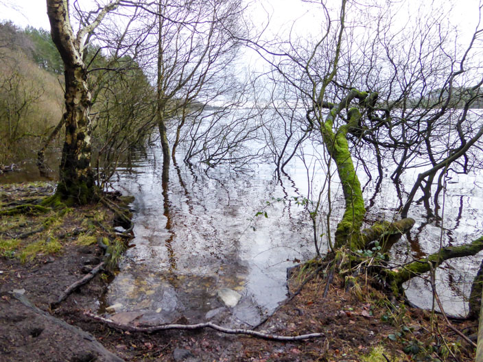
| Comments: | This area, with lots of good tracks, was chosen because of the recent wet weather. Grassy sections were soggy and the water in the reservoirs encroached on the surrounding trees and bushes. | ||
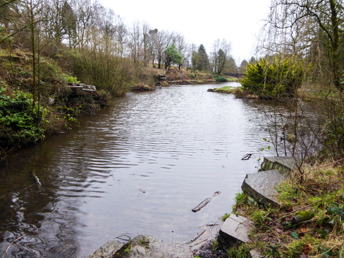
Japanese Gardens on the way to . . .
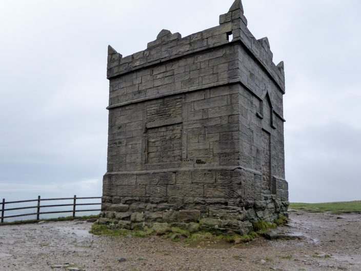
Rivington Pike . . .
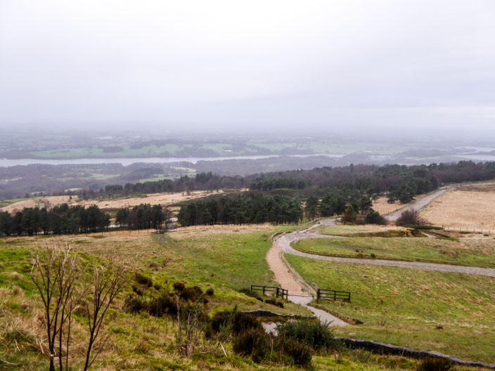
where the view is hazy in the distance
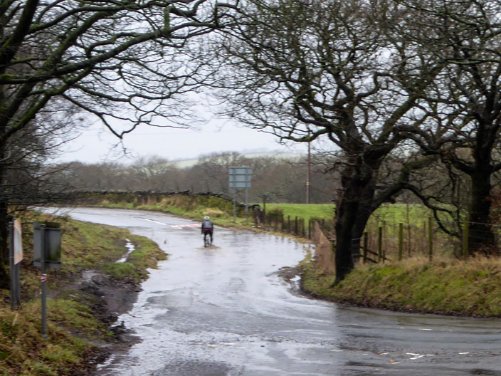
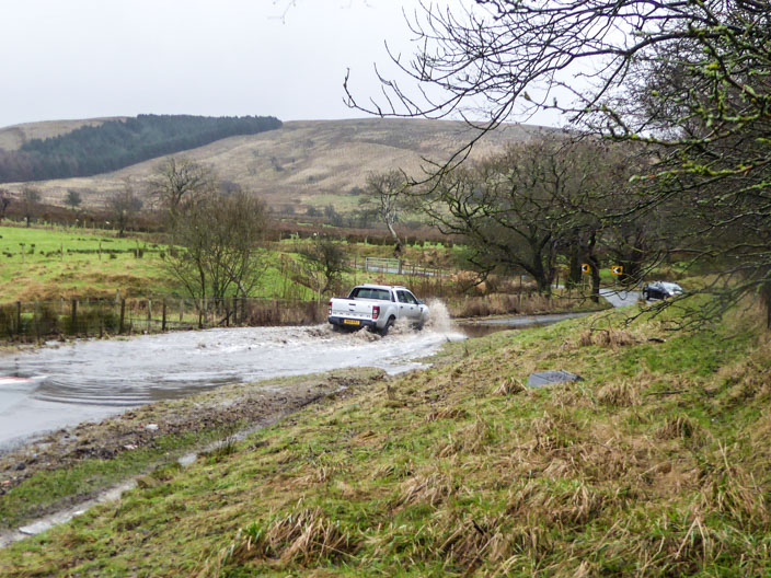
A cyclist tackles a flooded section of road . . .
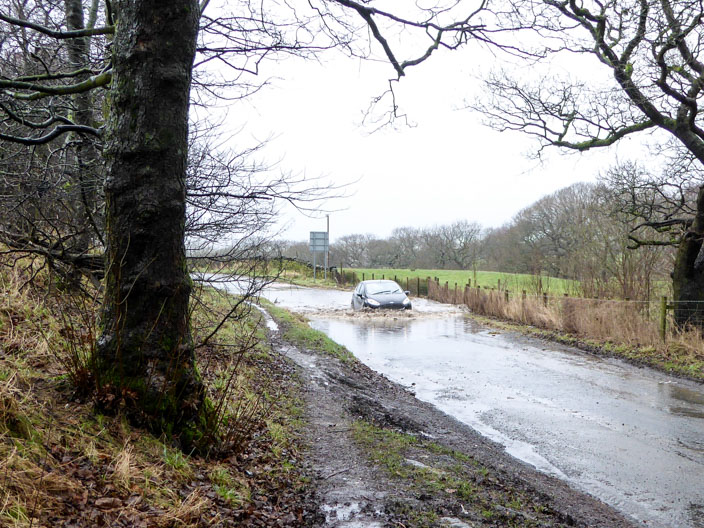
followed by a car . . .
and another!
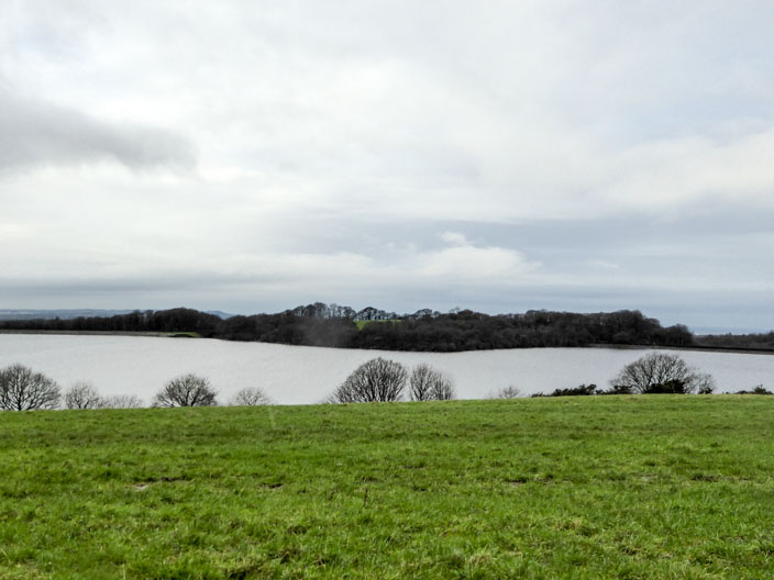
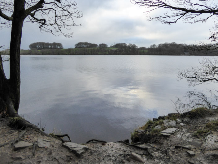
Lunch spot - looking over Yarrow Reservoir
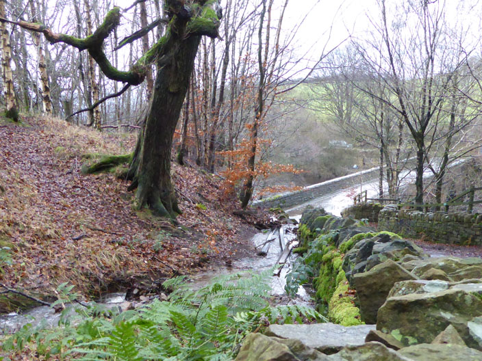
Descending to Allance Bridge a stream vehind the wall . . .
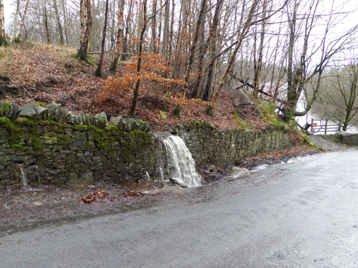
overflows onto the road . . .

and is trying to break through . . .
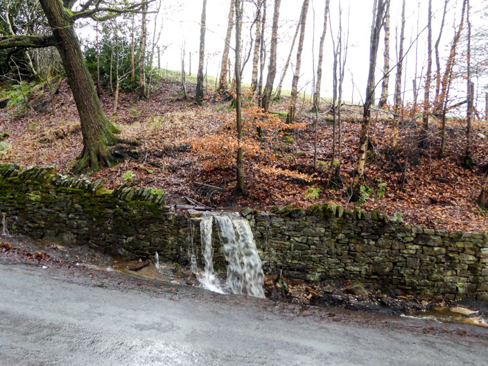
at lower points
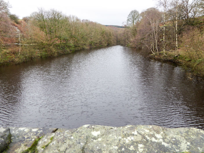
The River Yarrow and Limestone Brook have joined forces . . .
to enter the Yarrow Reservoir . . .
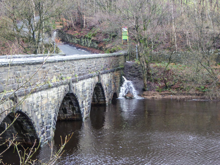
at Allance Bridge
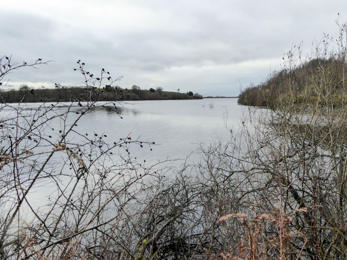
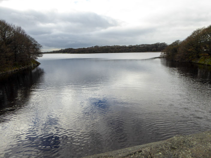
Anglezarke Reservoir . . .
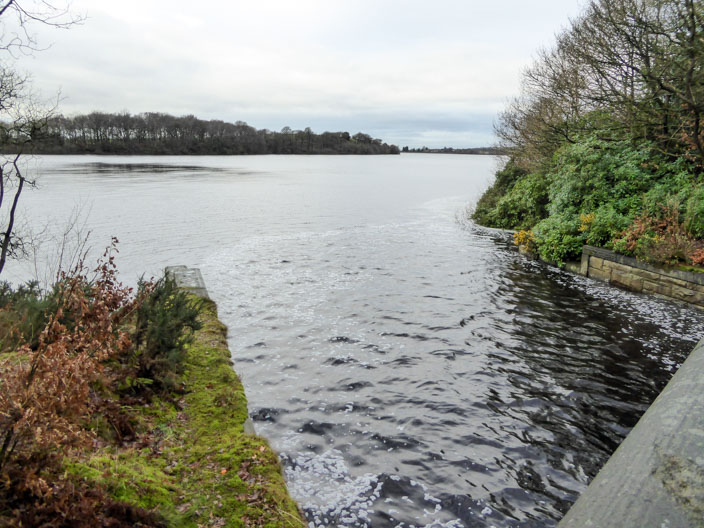
and again from the bridge . . .

where it is fed by . . .
the overflow . . .

from the Yarrow Reservoir
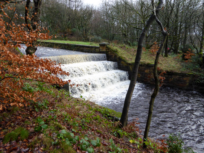
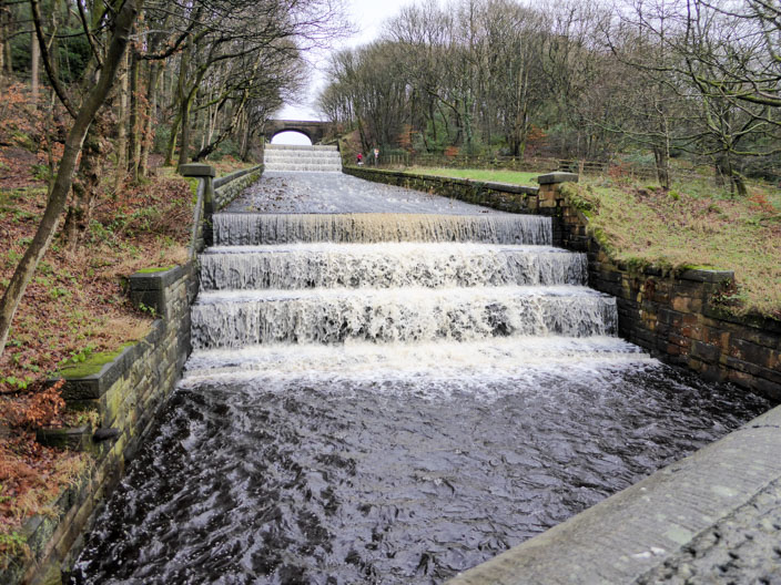
The steps provide focal points . . .

for lots of photos . . .

and tryong out different settings
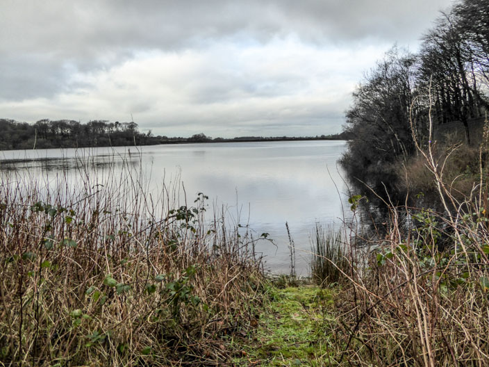
Upper Rivington Reservoir and . . .
Lower Rivington Reservoir where . . .

birds gather on a log (in the far distance)!
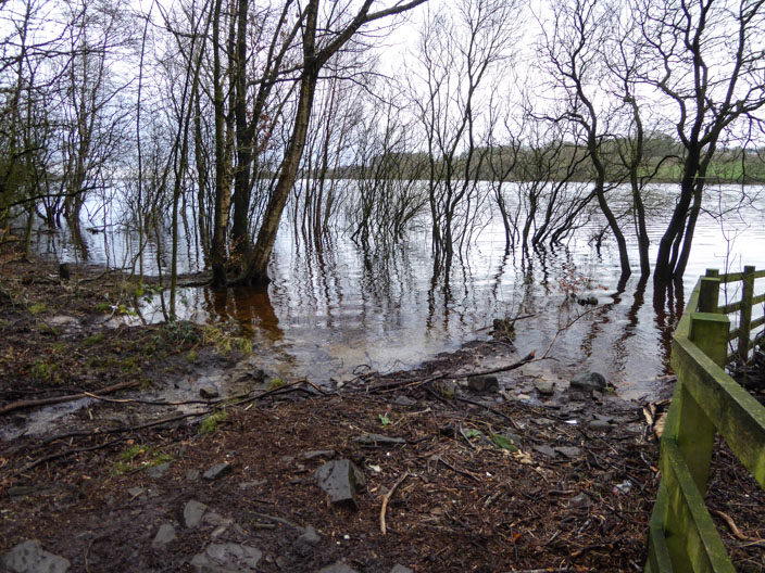
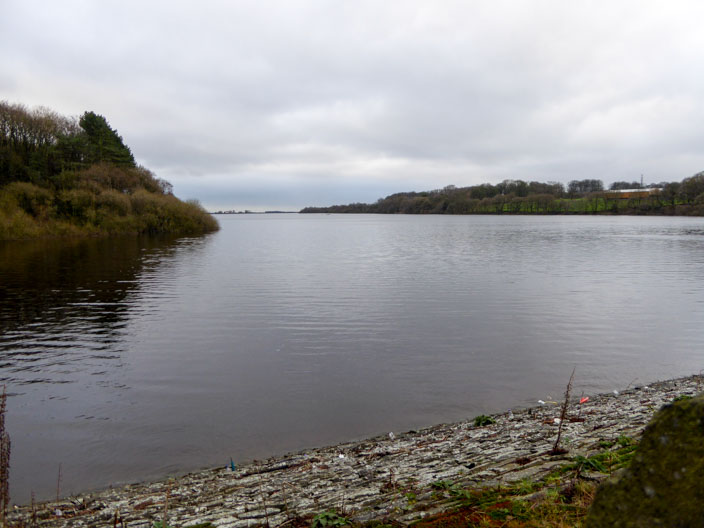
Walking beside Lower Rivington Reservoir . . .
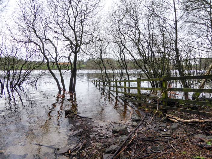
where there is lots of evidence . . .
of the recent flooding
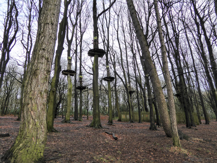
Unusual bird nests in the tree tops . . .
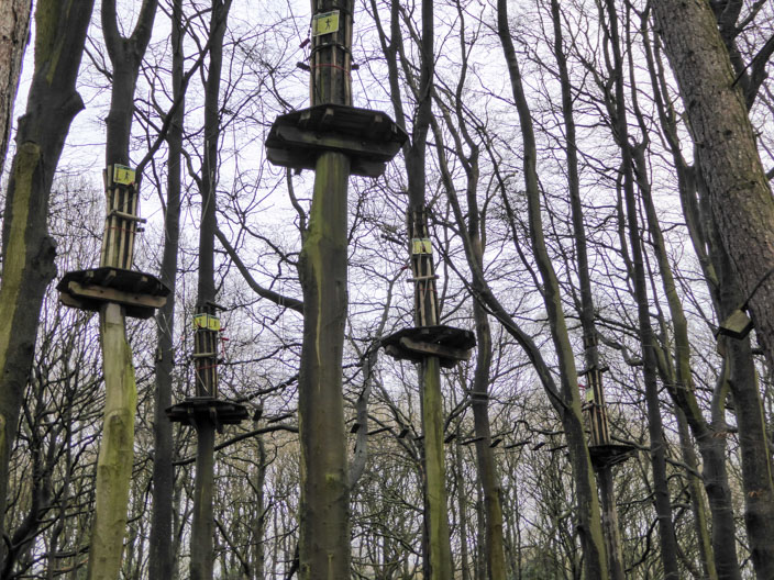
no, just platforms that form part of the Go Ape experience!
A final stop beside Lower Rivington Reservoir - with signs of blue sky