Friday, 11th March 2016
| Walk: | Bare House, Bycliffe, Mossdale Scar, Swarth Gill, Conistone Moor, Dales Way, Conistone Pie | ||
| Start Point: | Grassington NCP | Grid Reference: | SE 002 637 |
| Distance: | 13 miles | Ascent: | 1,640 feet |
| Time: | 6 hours | ||
| Weather: | Sunny spells with snow on the higher ground | ||
| Comments: | A varied walk on green paths, tracks and through snow. The route makes its way through ancient field systems, beside escarpments, across moorland and along a section of the long distance footpath, The Dales Way. The beginning and the end of the walk enjoyed pleasant sunshine (de-layering needed) whilst the middle section through snow met with a cool wind (on with the coat, hat, etc). | ||
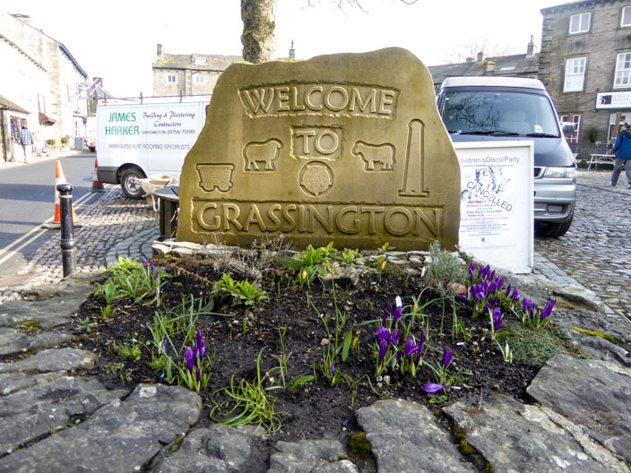
Perhaps a little early for a few more flowers?
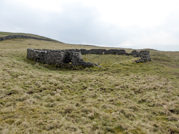
A distinctive circular structure . . .
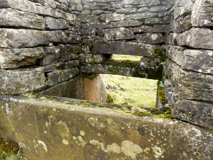
has an unusual access point

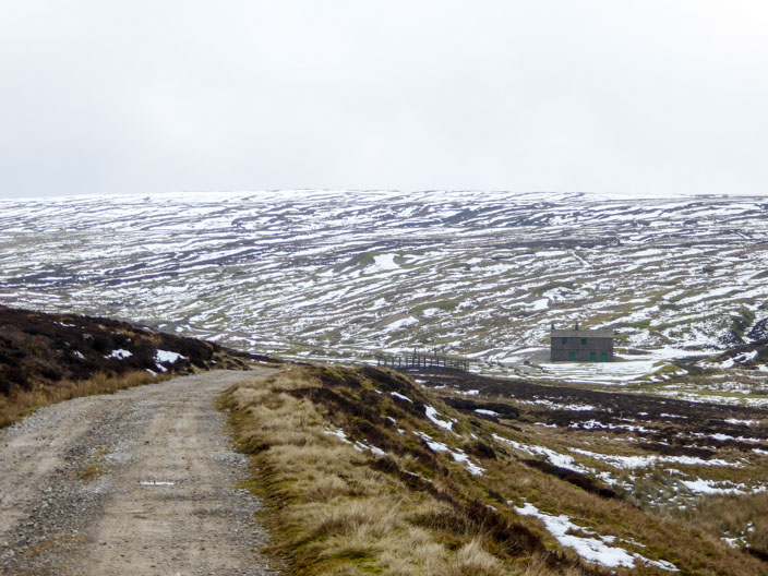
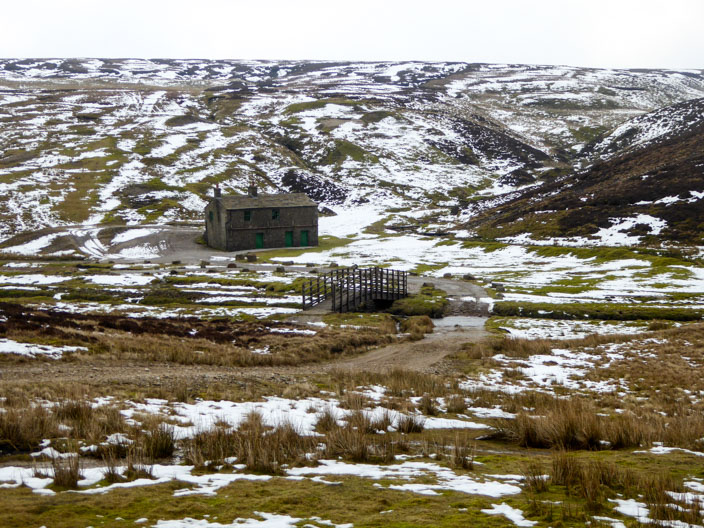
Bare House, a derelict farmhouse . . .
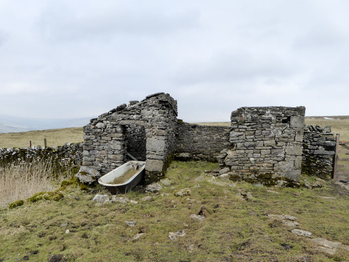
and is this the Bath House?
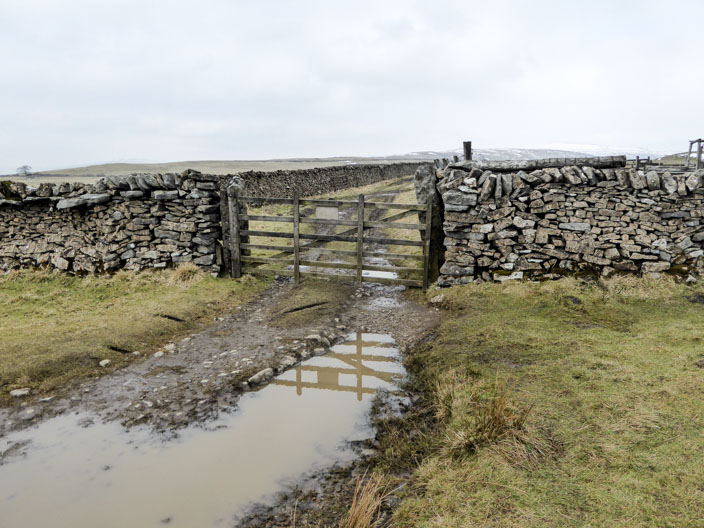
A normal looking gate, but in 2010 . . .
we didn't need to open it
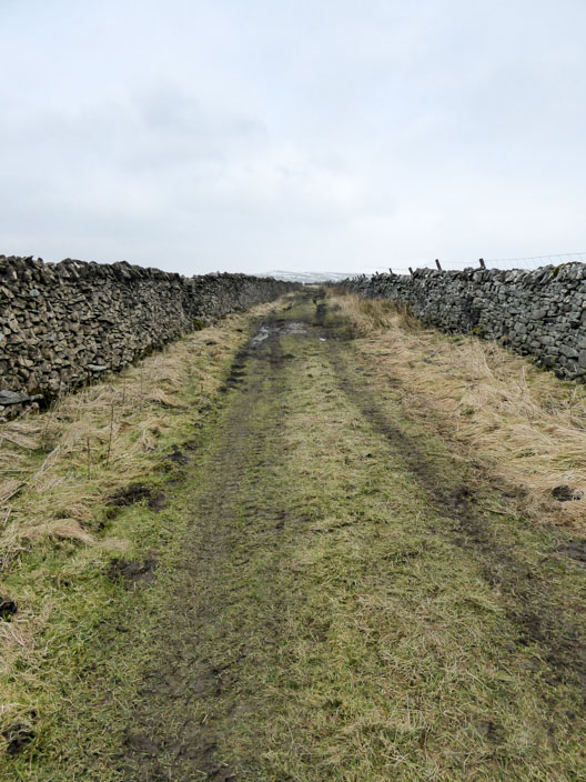
The enclosed lane looked quite different . . .
in 2010
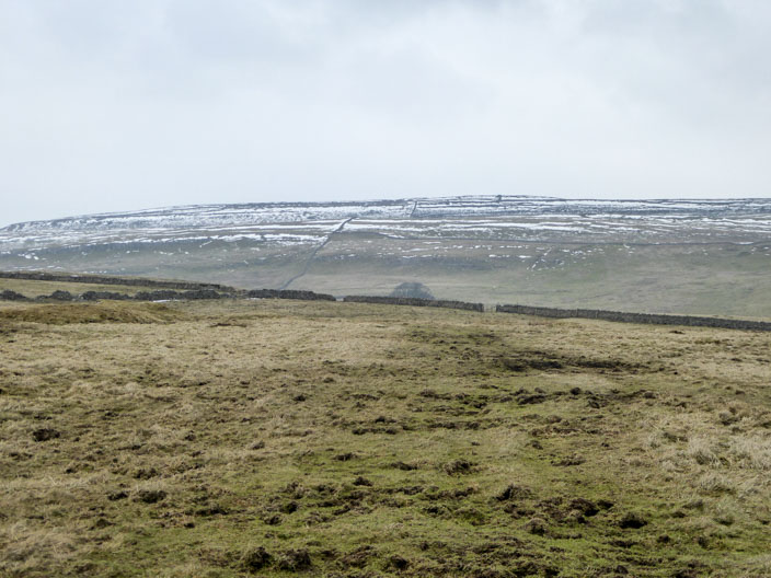
Patchy snow on the nearby hillside . . .

but looking north, possibly GreatWhernside, boasts a much heavier coating
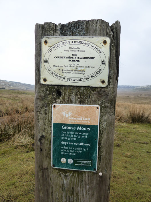
Important information
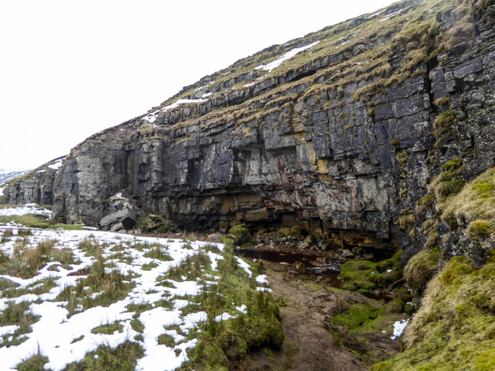
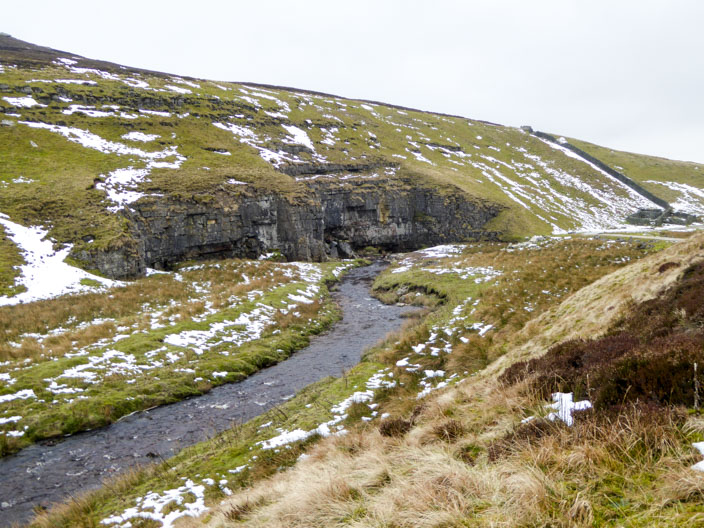
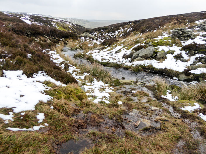
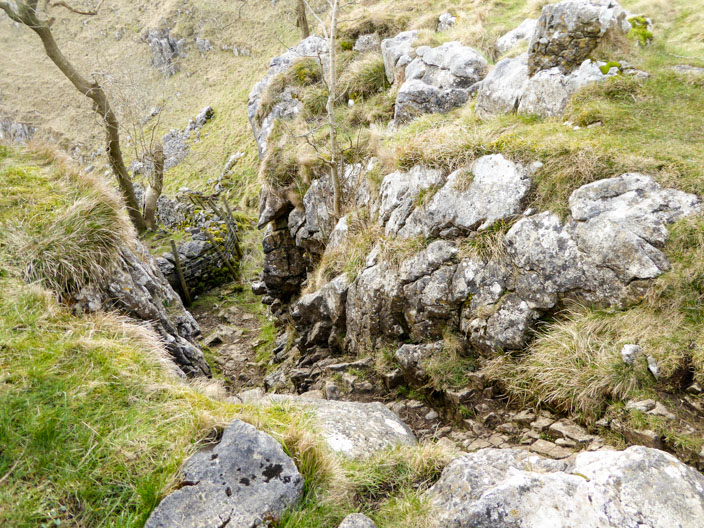
Reaching Mossdale Scar . . .
where Mossdale Beck . . .
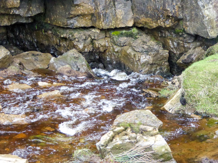
disappears . . .
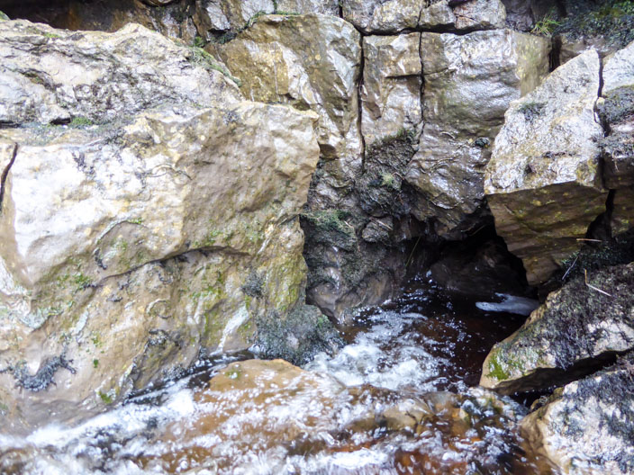
under the rock face . . .

to the right . . .
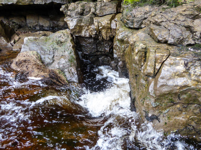
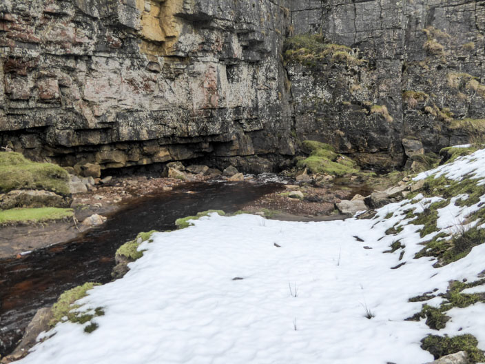
and below the rock face . . .
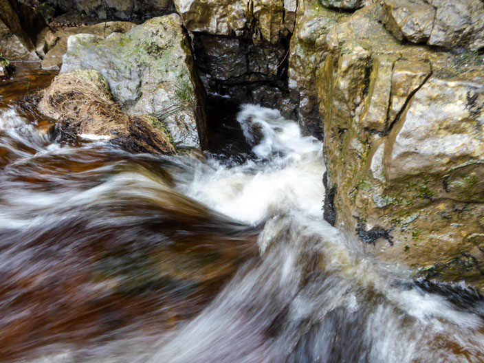
straight ahead
Leaving Mossdale Scar and Mossdale Beck behind . . .
I continued towards . . .
another derelict building . . .
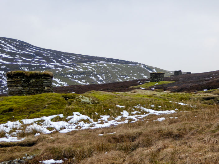
and onto the moors, past the grouse butts
After crossing Swarth Beck . . .
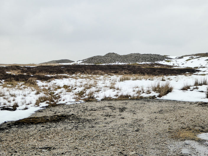
the path heads through the remains of a disused quarry
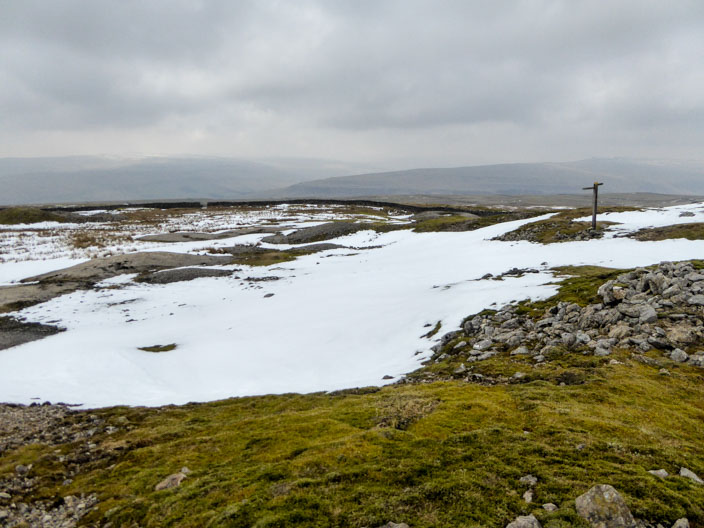
Leaving the moorland behind the footpath sign points the way across the snow . . .
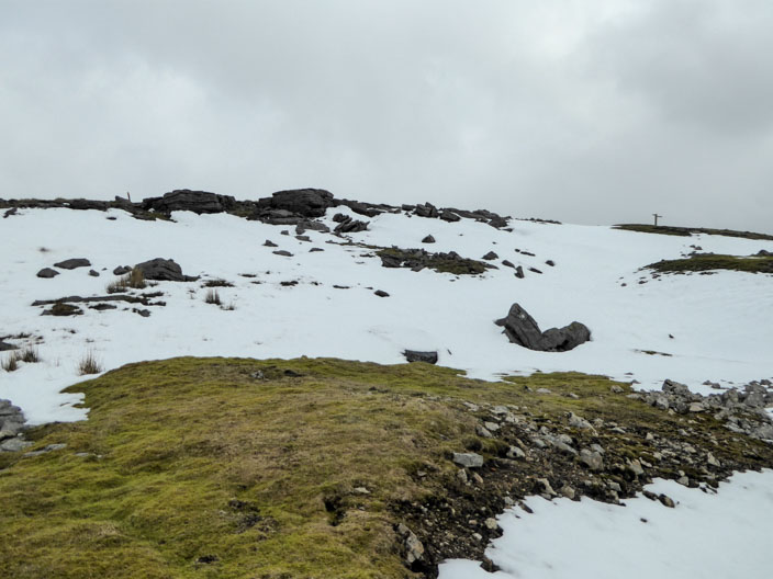
and down to the Dales Way
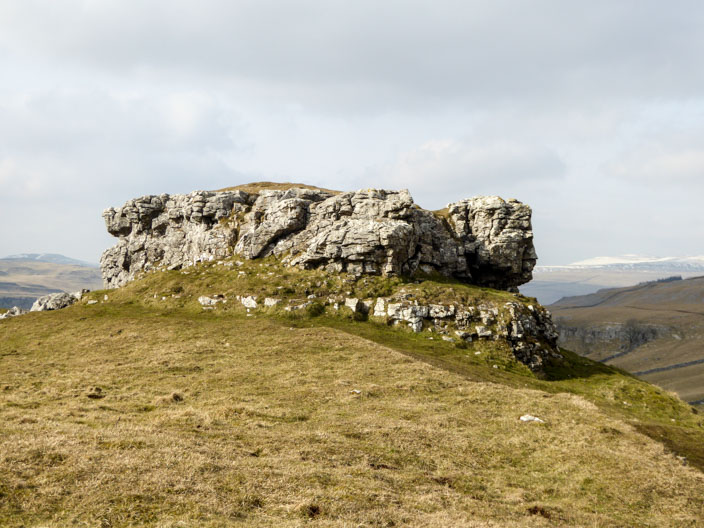
The limestone outcrop is known as Conistone Pie . . .
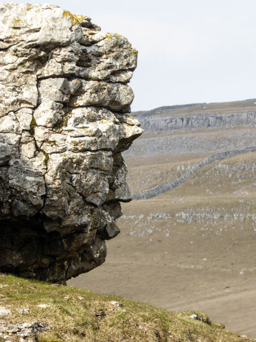
with the right hand edge looking like a face
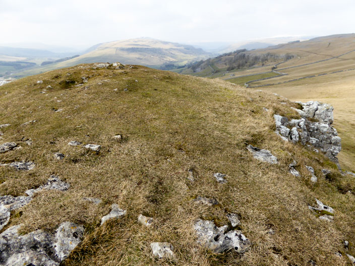
The top of the 'Pie' is covered in grass . . .
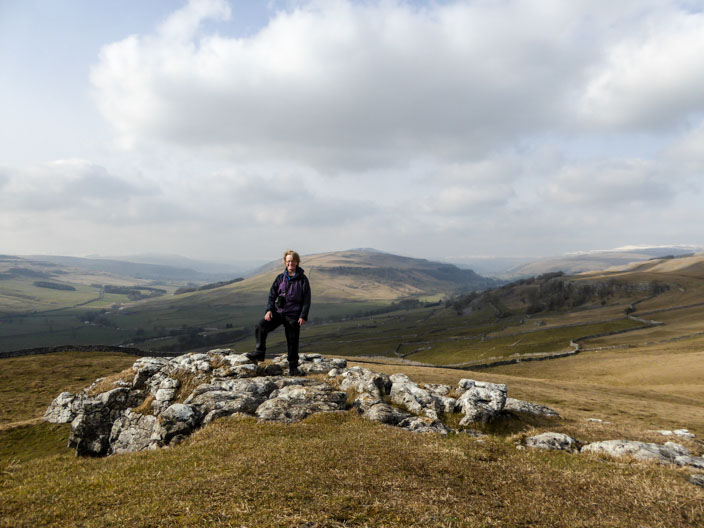
but photos on top don't do it justice
A steep descent to join Scot Gate Lane for Conistone
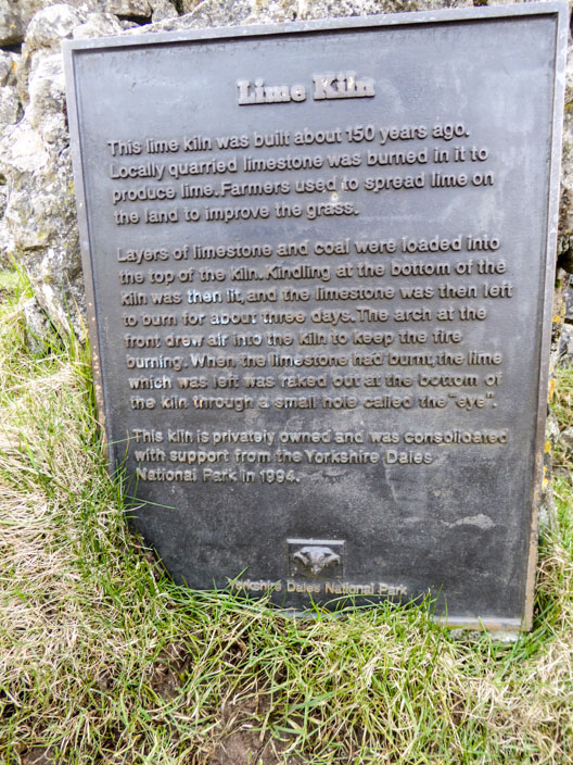
A useful piece of information . . .
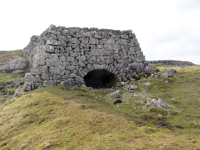
next to the lime kiln