Monday, 18th April 2022
| Walk: | Chartists Well, Mearley Moor, Scout Cairn, Summit, Boar Clough, Ogden Clough, Deerstones, Churn Clough Reservoir, Calf Hill | ||
| Start Point: | Sabden, Clitheroe Road layby | Grid Reference: | SD 775 380 |
| Distance: | 8.6 miles | Ascent: | 1,617 feet |
| Time: | 3 hours 40 minutes | ||
| Weather: | Intermittent sun and a cool breeze | ||
| Comments: | Checking out sections of the route for a group walk. While much of the route is quite easy walking there are some rocky and muddy sections. It was interesting to take the footpath through the previoius plantation near Churn Clough reservoir, now planted as a woodland area. (Note to self: on the return just after the summit of Black Hill look for path at 30 degrees off main path for Deerstones. Marked on Strava but not on OS maps.) |
||
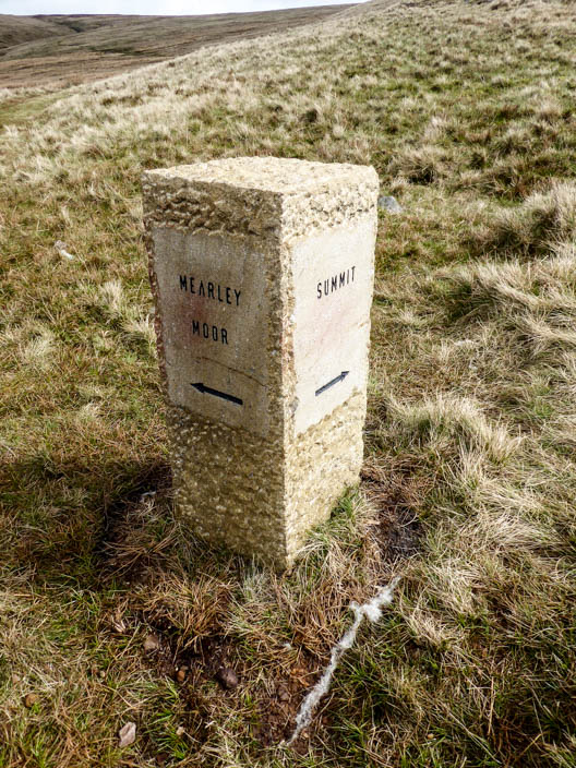
One of the new signs on Pendle Hill shows me which way to go . . .
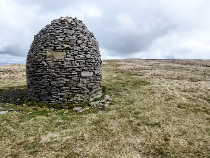
to eventually reach the Scout Cairn
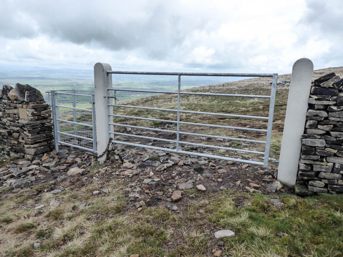
After passing the shelter I find that the ladder stile has been replaced by gates . . .
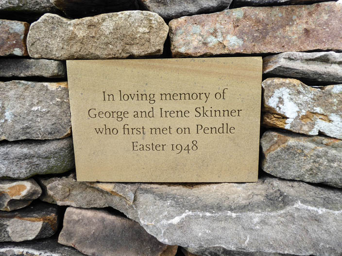
and a dedication plaque
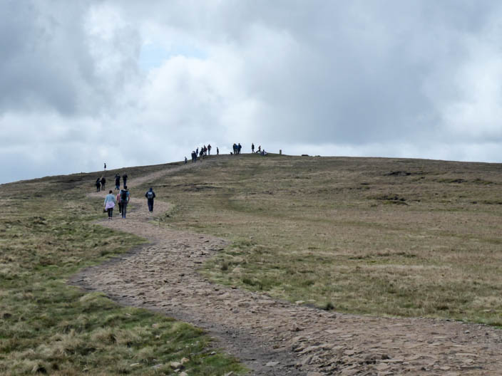
It looks very busy on the summit . . .
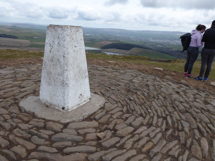
but much quieter when I arrive
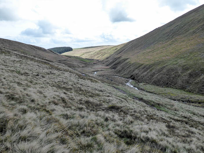
Looking down Ogden Clough from the final section of Boar Clough
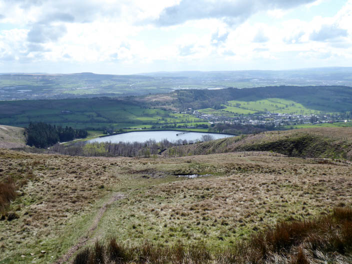
Churn Clough Reservoir comes into view
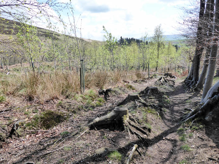
Conifers have been removed and . . .
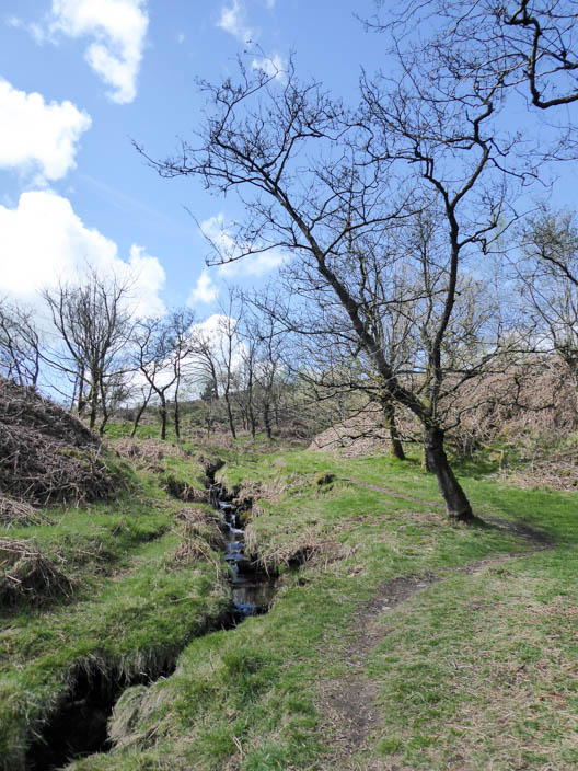
woodland trees planted in their place
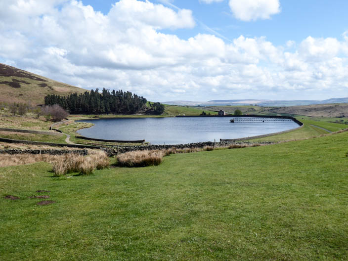
Churn Clough Reservoir