Monday, 25th April 2023
| Walk: | Parlick Pike, Brown Berry Plain Cairn, Saddle Fell, Saddle End Farm, Wolfen Hall, Fell Gate | ||
| Start Point: | Fell Foot | Grid Reference: | SD 601 442 |
| Distance: | 6 miles | Ascent: | 1,288 feet |
| Time: | 3 hours | ||
| Weather: | Overcast with some sunny spells | ||
| Comments: | In March I tried to find the cairn at the highest point of the fell but the ground was too wet to continue. Today I decided to head for the highest point again and found that the cairn had been moved from where I had seen it previously and the area had been much developed. The descent was much easier to follow than the last part of the ascent which was still quite boggy in places. | ||
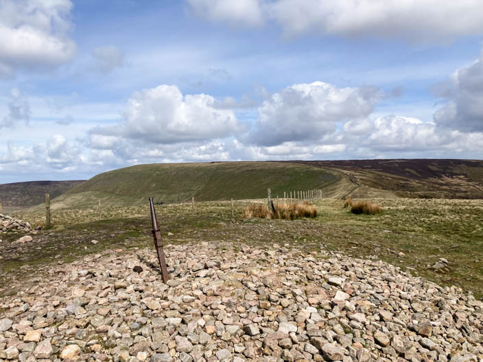
Parlick Pike with Fair Snape Fell on the horizon to the left but I'm going to keep the fence on my left initially. Where the path branches off to the right I stay by the fence to eventually reach a well made path which leads . . .
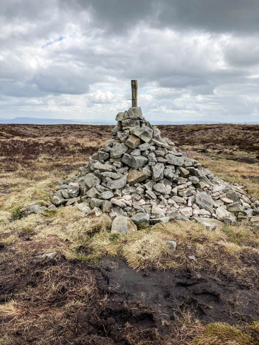
to the cairn at the highest point
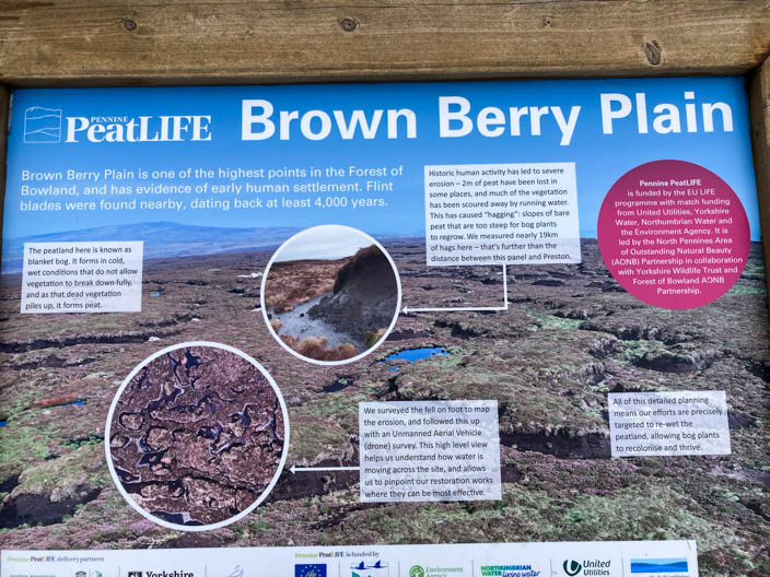
A nearby board . . .
has lots of infromation . . .
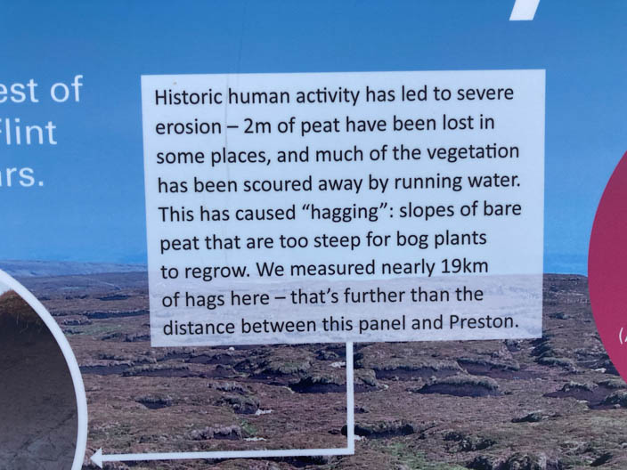
about what has happened to this area . . .

what they have done . . .
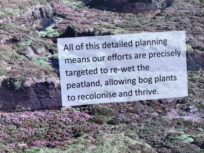
what they hope will happen
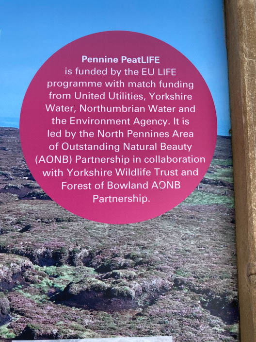
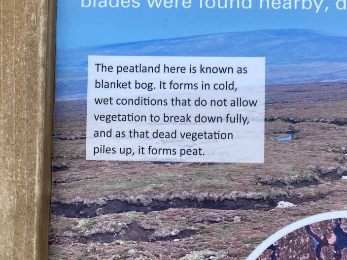
Another section explains how it has all come about
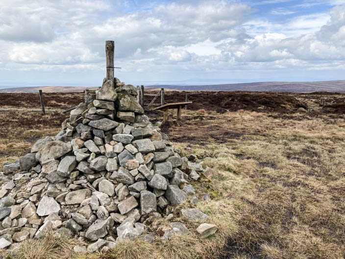
A last view of the cairn - the Lakeland fells can just be seen to the north
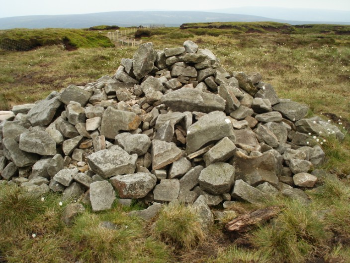
Looking back - to the cairn on 3rd June 2009 . . .
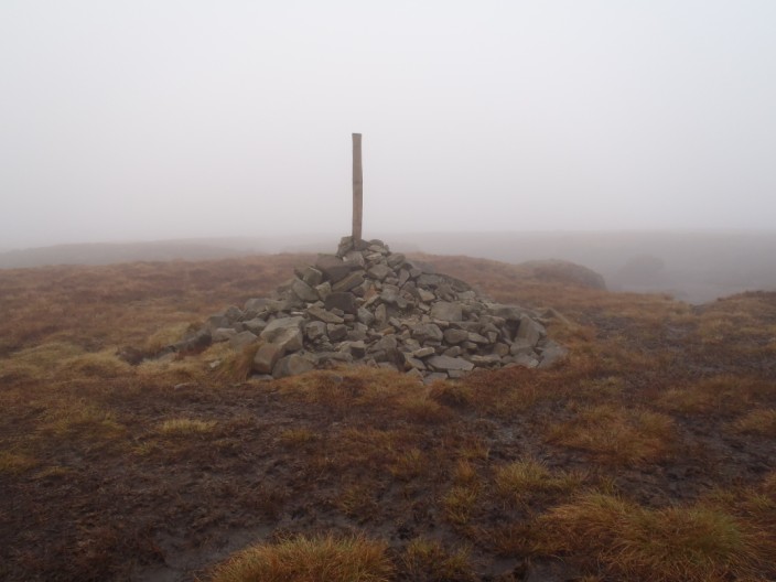
5th May 2013 . . .
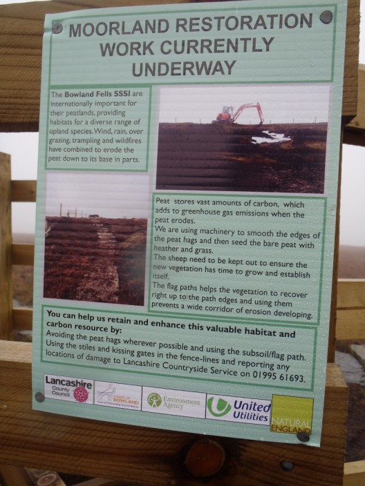
when there were some information boards . . .
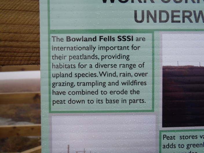
about this area . . .
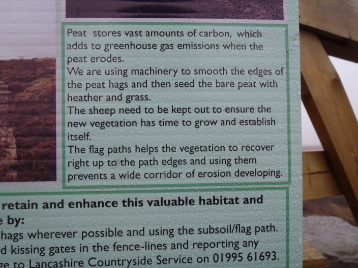
and what they are doing
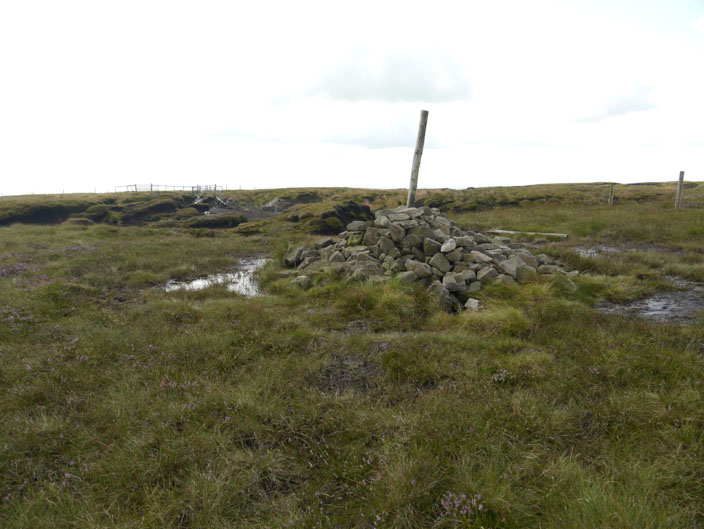
Then on 4th August 2014 . . .
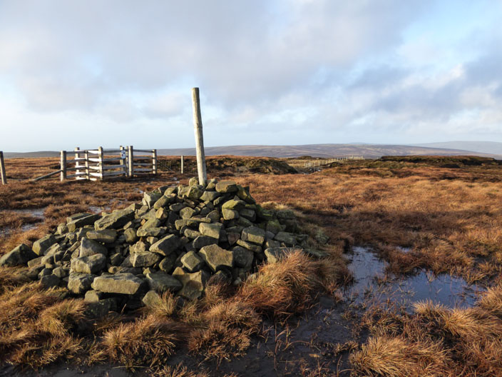
8th January 2015 . . .
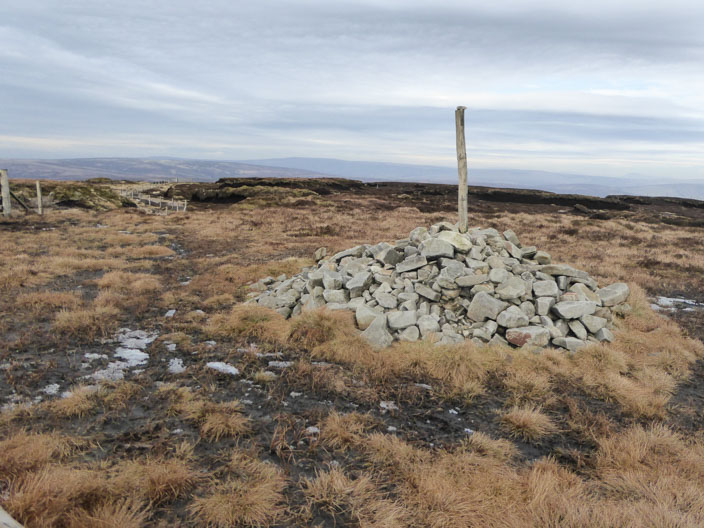
and 16th February 2016
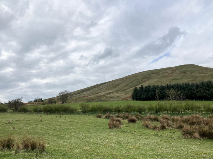
Nearly back and the ascent to Parlick Pike doesn't look as steep as it always feels!