Saturday, 13th May 2023
| Walk: | Victoria Cave, Attermire Scar, Sugar Loaf Hill, Scaleber Force, Lambert Lane, Lodge Road, Ribble Way, Dales Highway | ||
| Start Point: | Langcliffe | Grid Reference: | SD 823 651 |
| Distance: | 10 miles | Ascent: | 1,148 feet |
| Time: | 5.5 hours | ||
| Weather: | Sunny all day, the warmest day of the year so far. | ||
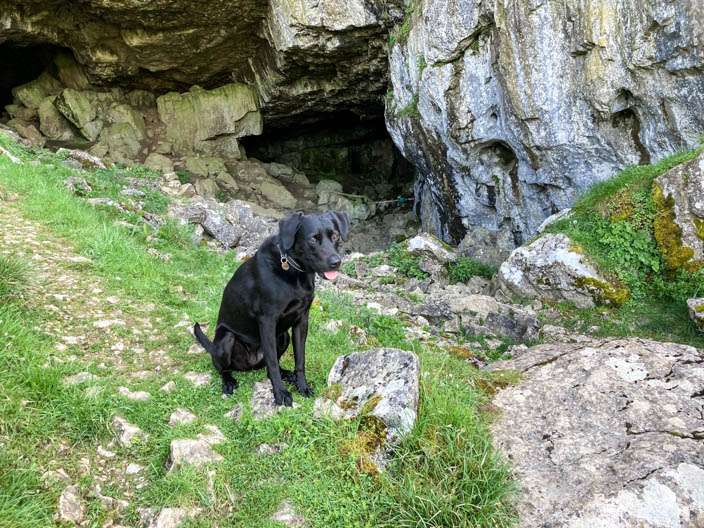
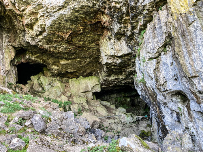
| Comments: | This is the first long walk that I've done with Luna and it was very pleasant having her company. It was quite a steep climb to visit Victoria Cave where I just took photos from the entrance as it isn't safe to enter. Looking back at my previous walk here on 23/05/2010, it would be better to visit Jubilee Cave and possibly miss out Victoria Cave. Scaleber Force was well worth a visit but quite a tricky descent to get to the base of the waterfall. From here it was a pleasant walk back especially along the Ribble Way which is also part of the Dales High Way. | ||
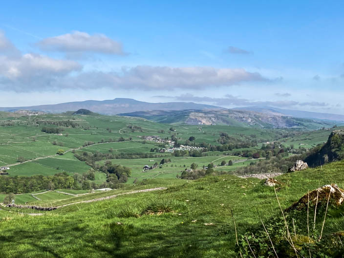
Ingleborough from the climb to . . .
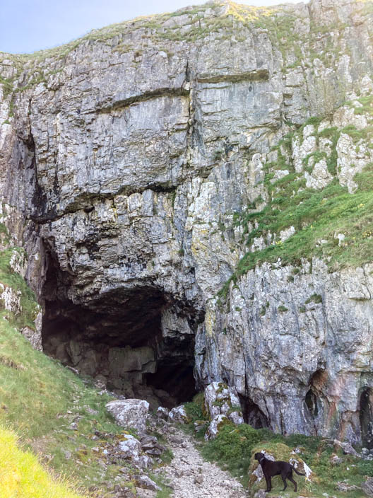
Victoria Cave . . .
discovered by chance in 1837 . . .
where scientists found an amazing record of climate change . . .
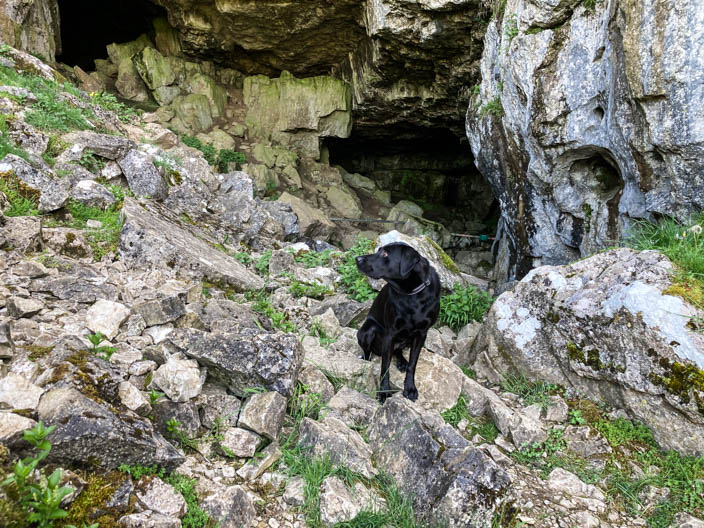
in the Dales over 1,000 years
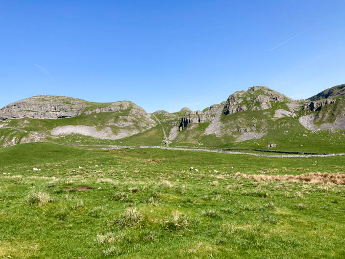
Looking north to Warrendale Knotts . . .
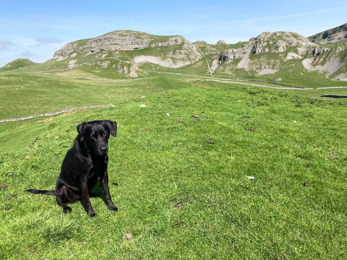
and again from Sugar Loaf Hill
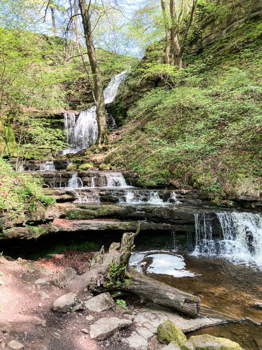
Scaleber Force . . .
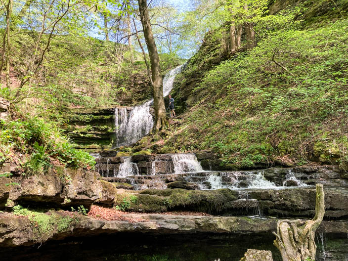
which tumbles over rocks cut into the limestone gorge . . .
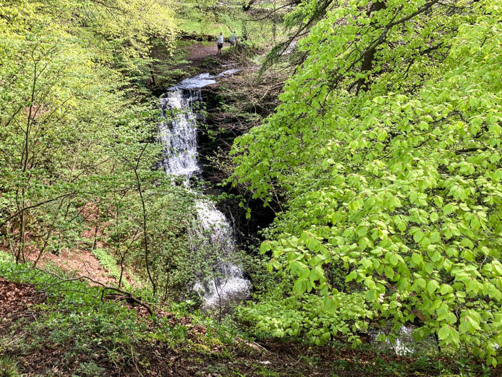
with Stockdale Beck seen from a higher vantage point . . .
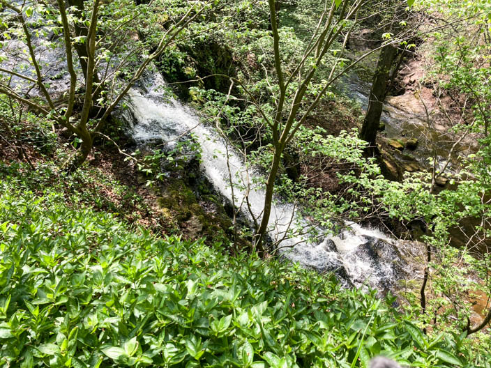
and another view of the waterfall
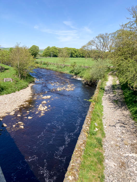
The road bridge takes us over the River Ribble . . .
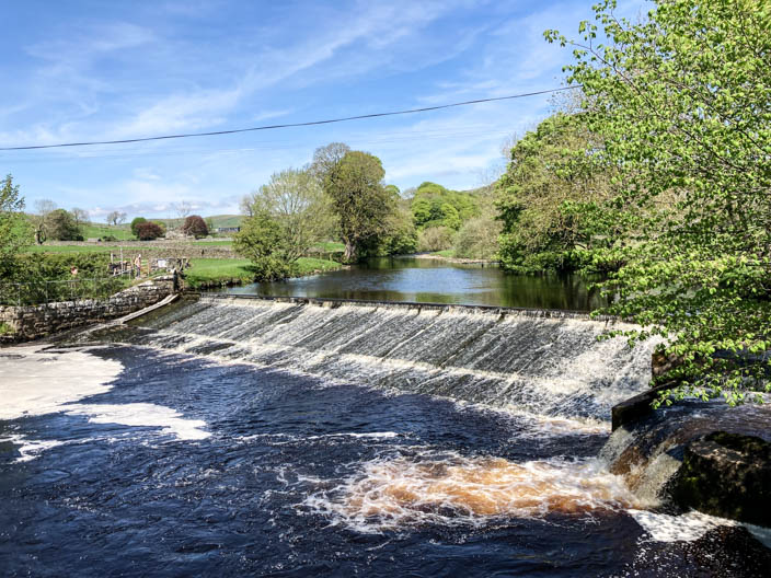
where we follow the Ribble Way to the weir near Langcliffe
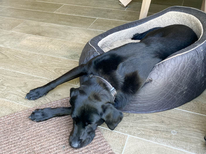
Tired out after 10 miles!!