Saturday, 10th June 2023
| Walk: | Lower & Upper Winskill, Catrigg Force, Stainforth, Little Stainforth, Feizor, Feizor Thwaite, Giggleswick Scar, Schoolboys Tower, Ribble Way | ||
| Start Point: | Langcliffe | Grid Reference: | SD 823 651 |
| Distance: | 9 miles | Ascent: | 1,600 feet |
| Time: | 4.5 hours | ||
| Weather: | Hottest day of the year so far, over 30º | ||
| Comments: | Setting out at 9am the first half of the walk was fine but it was really hot for the second half, which was very undulating!! | ||
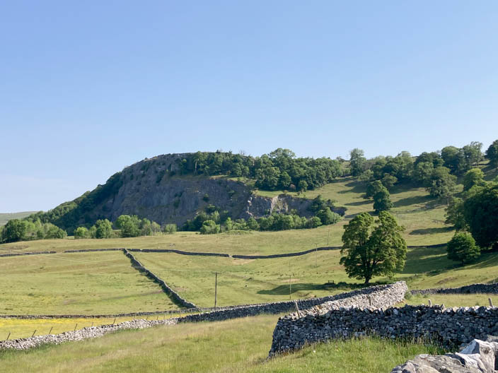
Stainforth Scar
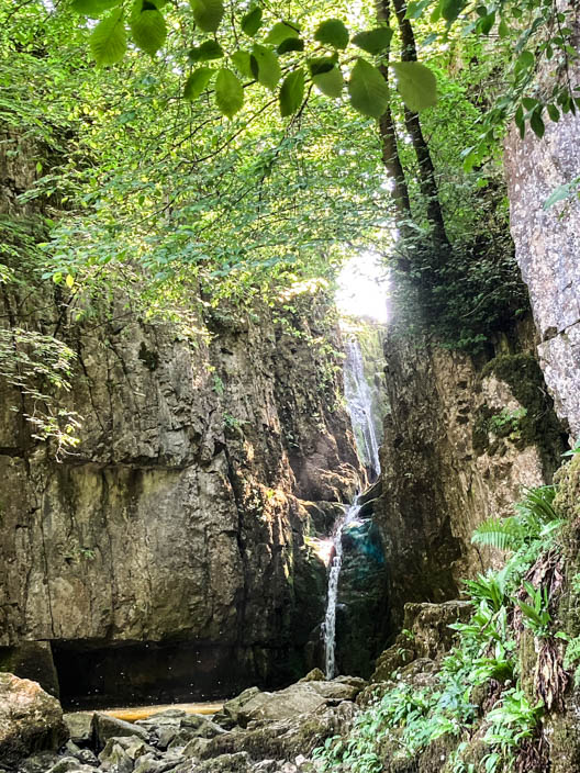
Could only take a photo from close to the waterfall because of the trees and lack of water!!
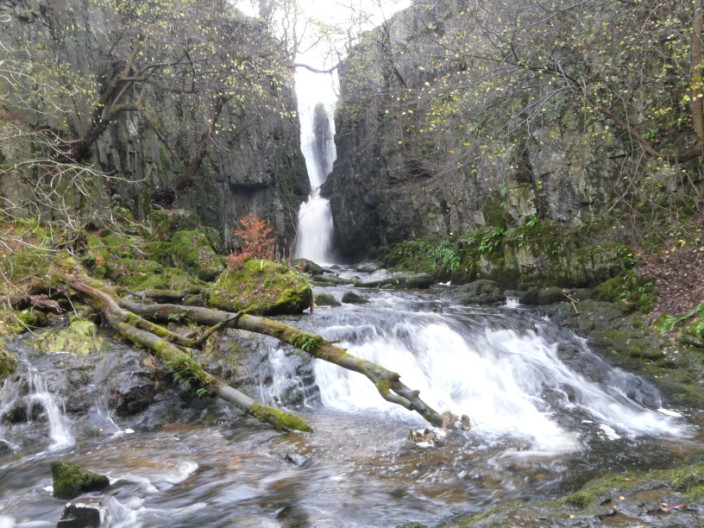
No problem in November 2009 . . .

but less water in October 1012 . . .
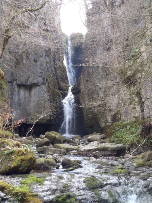
and April 2013 . . .
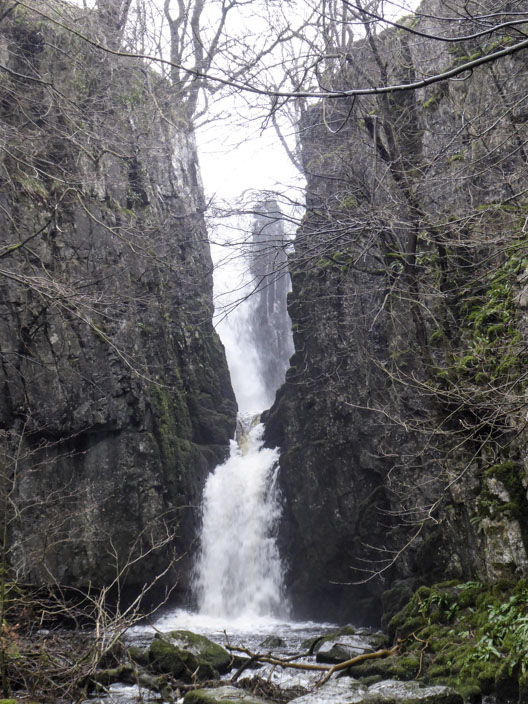
but lots of water in February 2019 . . .

a marked difference to today!!
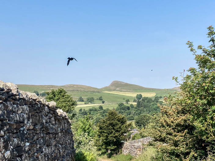
Looking across to Smearsett Scar - just as a bird takes off
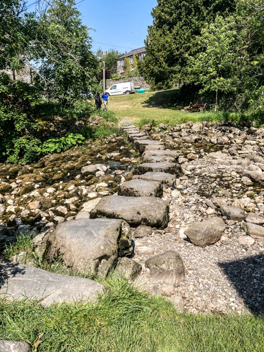
Stainforth stepping stones . . .
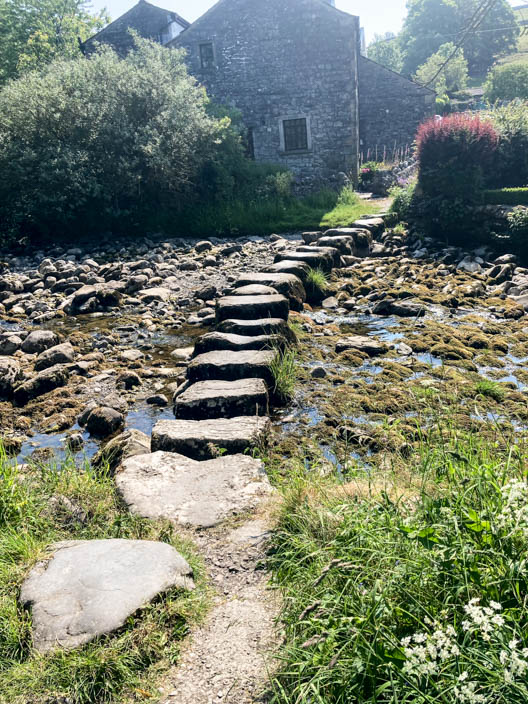
with very little water in Stainforth Beck
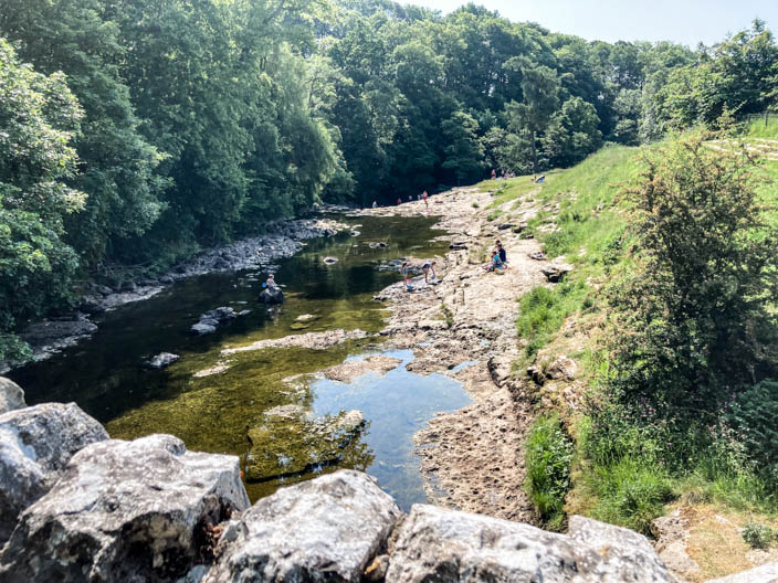
From the bridge over the River Ribble, too little water to be worth visitng Stainforth Force, and too many people
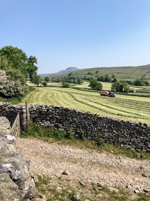
At Little Stainforth a farmer has nearly finished this field . . .
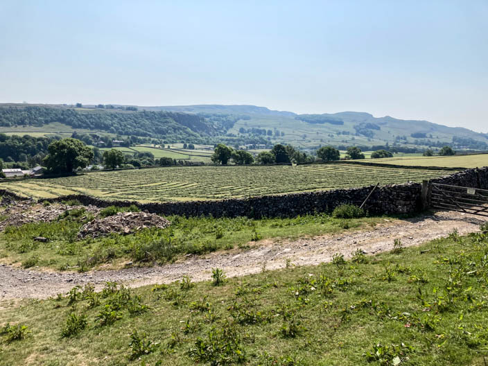
but still has another one to do
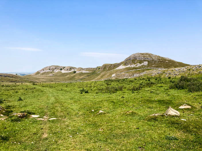
Smearsett Scar . . .
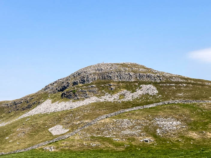
where you can just see the trig point . . .
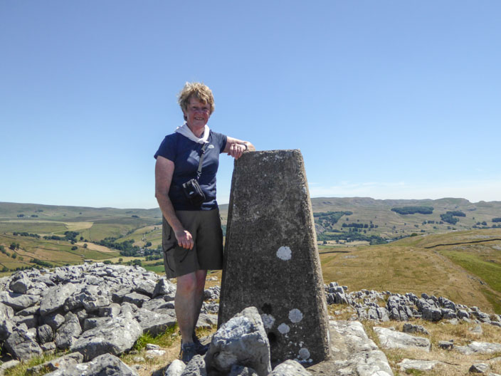
which I visited in July 2019
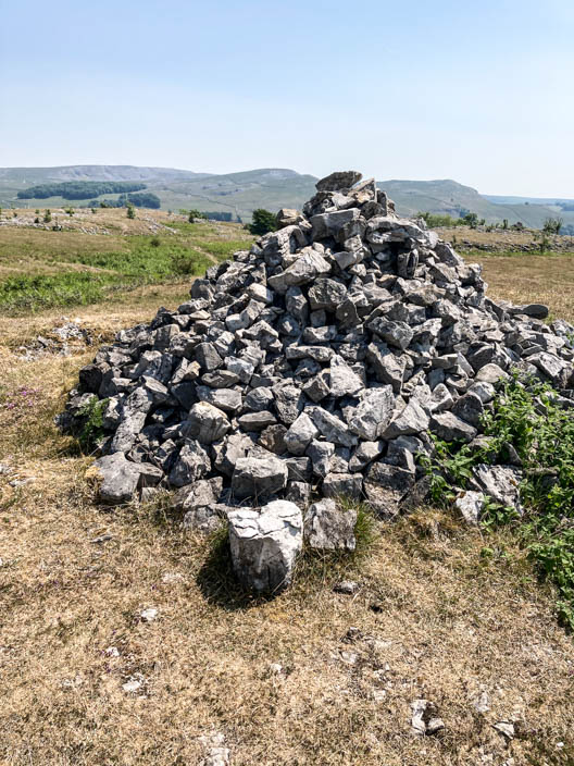
The end, and possibly the highest point, of Giggleswick Scar