|
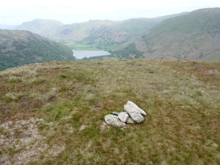
Hartsop Above
How
| Height: |
1,870 feet 570 metres |
|
| Ranking: |
140 |
| Grid Ref: |
NY 38318 12995 |
| Map: |
North-eastern Area |
| Book: |
Eastern Fells |
| DATE |
WALK |
DISTANCE |
ASCENT |
| Sunday, 27th November 2016 |
Hartsop Hall, Dovedale, Priest's Hole, Houndshope Cove, Hartsop Above How, Bleaberry Knott, Deepdale Bridge, Low Wood |
8 mls |
2,300 ft |
| Thursday, 1st September 2016 |
Dovedale, Priest's Hole, Hart Crag, Hartsop Above How, Deepdale Bridge, Dubhow |
10 mls |
3,360 ft |
| Sunday, 7th August 2016 |
Dubhow, Deepdale Bridge, Hartsop Above How, Hart Crag, Dove Crag, Bakestones Moss, Little Hart Crag, High Hartsop Dodd, Hartsop Hall, Sykeside, Brothers Water concessionary footpath |
10.3 mls |
3,120 ft |
| Thursday, 4th September 2014 |
Deepdale Park, Hartsop Above How, Hart Crag, Fairfield, Cofa Pike, St Sunday Crag, Gavel Pike, Birks, Trough Head, Arnison Crag, Patterdale, Crookabeck |
12 mls |
4,040 ft |
| Thursday, 24th July 2014 |
Patterdale, Arnison Crag, Trough Head, Birks, St Sunday Crag, Cofa Pike, Fairfield, Hart Crag, Hartsop Above How |
12 mls |
4,270 ft |
|
Wednesday, 14th
August 2013 |
Deepdale Park, Hartsop Above How,
Hart Crag,
Dove Crag, Little Hart Crag,
High Hartsop Dodd, Hartsop
Hall, Brothers Water |
8.5 mls |
3,030 ft |
|
Sunday 17th May 2009 |
Hartsop Above How,
Hart Crag,
Dove Crag, Little Hart Crag,
High Hartsop Dodd,
Middle Dodd |
11 mls |
3,850 ft |
October 2008
May 2009
May 2009
May 2009
Return to Wainwrights List
|