|
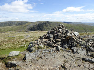
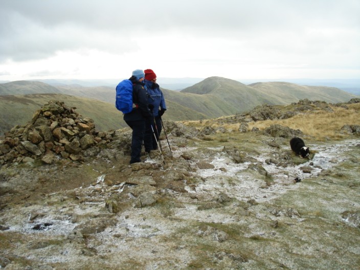
Caudale Moor
(Stony Cove Pike)
| Height: |
2,502 feet 763 metres |

|
| Ranking: |
55 |
| Grid Ref: |
NY 418 100 |
| Map: |
North-eastern Area |
| Book: |
Far Eastern Fells |
| DATE |
WALK |
DISTANCE |
ASCENT |
| Wednesday, 2nd August 2017 |
Ing Lane, Troutbeck Park, Trout Beck valley, Threshthwaite Mouth, Threshthwaite Crag, Stony Cove Pike, Pike How, Woundale Valley, Kirkstone Pass road |
12.8 mls |
2,780 ft |
| Tuesday, 23rd May 2017 |
Nanny Lane, Wansfell Pike, Wansfell, Woundale, Pike How, Stony Cove Pike, Threshthwaite Mouth, Park Fell head, Trout Beck, Ing Lane |
13.5 mls |
3,400 ft |
| Sunday, 5th June 2016 |
Brothers Water, Sykeside camp site, Caudale Quarry (disused), Caudale Head, Stonycove Pike (Caudale Moor), Kirkstone Pass, Red Screes, Scandale Pass, Caiston Glen, Brothers Water |
10.3 mls |
3,274 ft |
| Thursday, 12th May 2016 |
Troutbeck, Nanny Lane, Wansfell (Baystones), Kirkstone Pass, Ravens Edge, Caudale Moor (Stony Cove Pike), Threshthwaite Mouth, Troutbeck Park, Town Head, Troutbeck |
13 mls |
3,500 ft |
| Sunday, 1st June 2014 |
Hartsop Dodd, Stony Cove Pike, Threshthwaite Crag, Thornthwaite Crag, High Street, Kidsty Pike, Rampsgill Head, The Knott, Satura Crag, Brock Crags |
13 mls |
3,875 ft |
|
Saturday, 5th October 2013 |
St Raven's Edge, Caudale Moor (Stony
Cove Pike) Hartsop Dodd, Mark Atkinson's Monument, St Raven's
Edge, Woundale Valley, Kirkstone Pass |
10 mls |
2,570 ft |
|
Sunday, 19th May 2013 |
Kirkstone Pass Road, Broad End,
Stony Cove Pike, Thornthwaite Crag,
Froswick, Ill
Bell, Yoke, Garburn Road, Limefitt Park |
13.5 mls |
4,150 ft |
|
Sunday, 12th July 2009 |
Caudale Moor,
Threshthwaite Mouth,
Troutbeck Tongue, Troutbeck, Wansfell Pike,
Wansfell |
12.5 mls |
3,200 feet |
|
Tuesday, 28th October
2008 |
Kirkstone Pass, St Raven's Edge, Stony
Cove Pike (Caudale Moor), Hartsop Dodd,
Stony Cove Pike, St Raven's Edge, Kirkstone Pass |
7 mls |
2,340 ft |

October 2008

October 2008

October 2008
Return to Wainwrights List
|